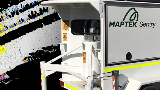
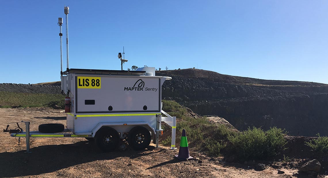
Maptek Sentry
LiDAR-based stability & convergence monitoring
LiDAR-based stability & convergence monitoring
Sentry combines a Maptek laser scanner with software to monitor, analyse and report on rapid and gradual movements. Various configurations are available to suit your monitoring needs.
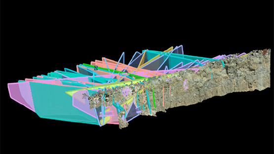
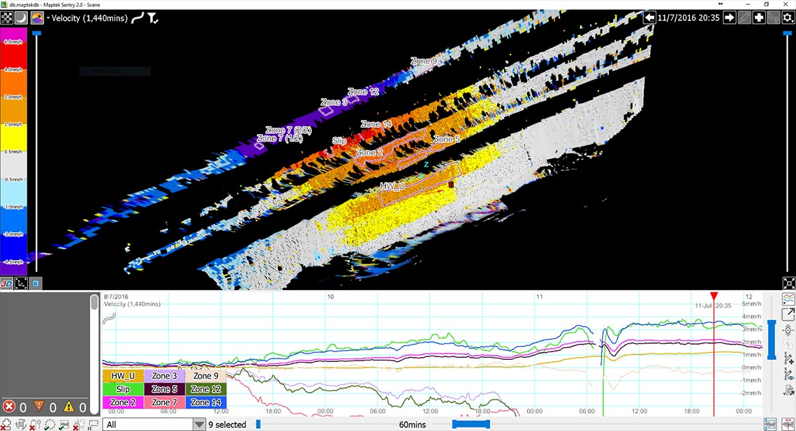
Set your monitoring frequency and thresholds to meet strategic design and operational planning needs. Accurate, timely reporting to geotechnical teams and management helps manage risk and safeguard operational environments. You can import data into Maptek PointStudio to quantify volume of material moved during rock failure, conduct geotechnical analysis and plan remediation work.
For extreme climates, Sentry can continuously monitor in -20°C to +50°C, with limited operation down to -40°C.
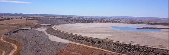
Improve pit safety and risk monitoring by early detection of highwall, bench and slope movements.
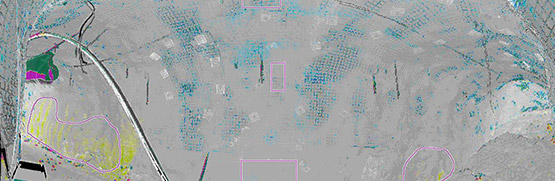
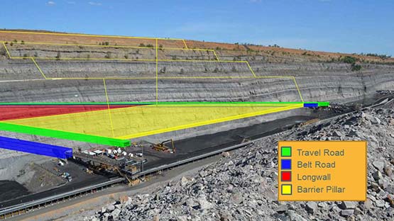
Improve safety underground by early detection and notification of subsidence.
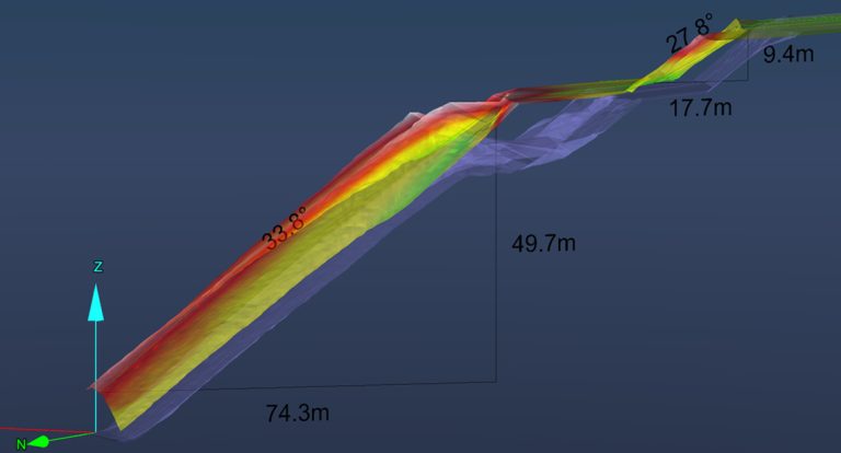
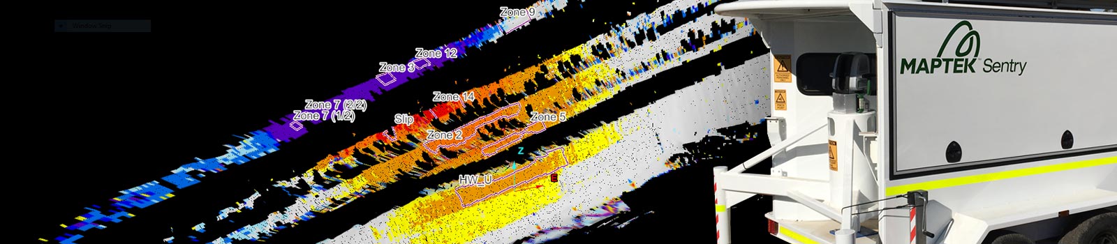
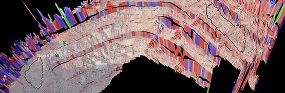
Sentry hardware and software is simple to set up and operate for monitoring in remote locations. You can easily create timelines from collected monitoring data and generate and animate zones to show movement over time.
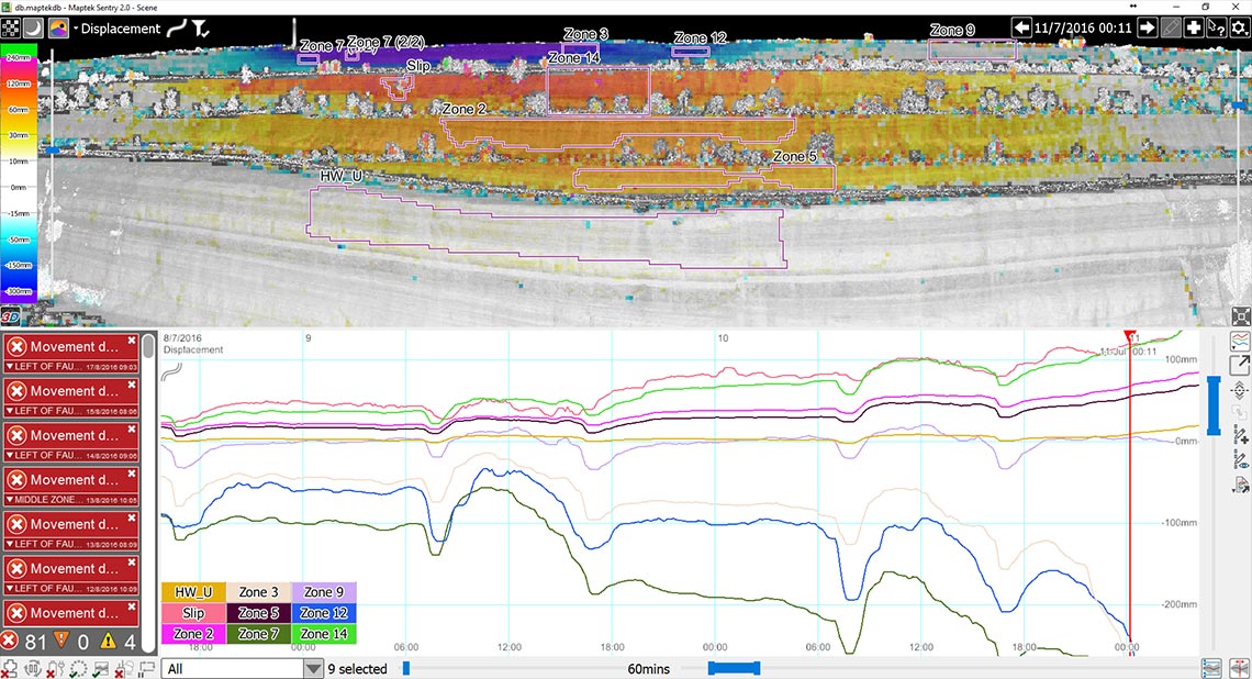
The ability to view and analyse automatically generated displacement, velocity and inverse velocity graphs in the pit or underground, in operational offices and remotely over a network helps ensure safe operating conditions 24 hours a day.
Remote monitoring of multiple zones to mitigate risk in active mining areas
Keep monitoring in extreme conditions for safe, 24/7 mining operations
Set alarm thresholds and notification protocols to suit your operation
Critical monitoring
Repeatable alarming and notifications for quick response
Versatility
Deploy your laser scanner for site survey applications
Accuracy
Confidence in system accuracy for repeatable alarming
Reliability
Keep monitoring in extreme conditions for safe, 24/7 operations