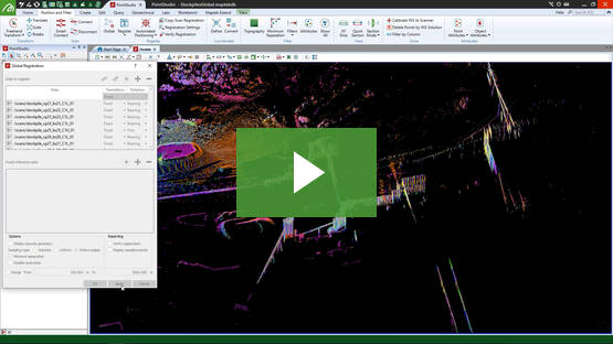
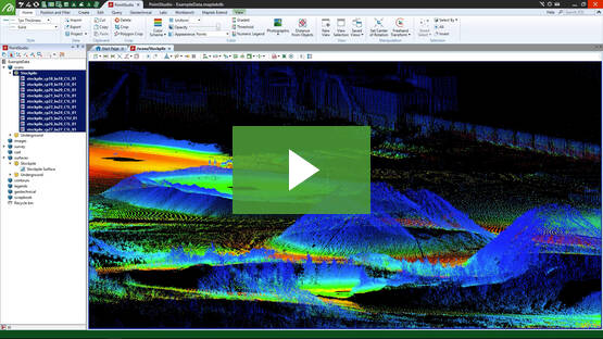
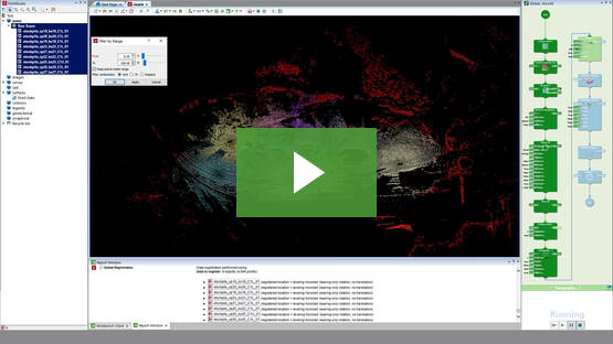
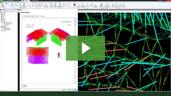
Understand the ways I-Site underground geotechnical mapping tools add value. Help identify key failure blocks with rock bolt/anchor control and calculate joint spacing, joint distribution and waviness in a 3D environment.
ReCAPTCHA has failed to load! Try reloading the page to submit this form. ReCAPTCHA no se ha podido cargar. Intente volver a cargar la página para enviar este formulario. Não foi possível carregar ReCAPTCHA. Tente recarregar a página para enviar este formulário. Не удалось загрузить ReCAPTCHA. Попробуйте перезагрузить страницу, чтобы отправить эту форму.