Photogrammetry
An add-on for PointStudio and PointModeller
An add-on for PointStudio and PointModeller
Generate textured surfaces and export orthomosaic photos.
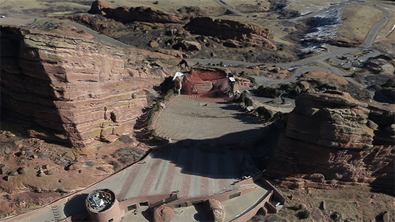
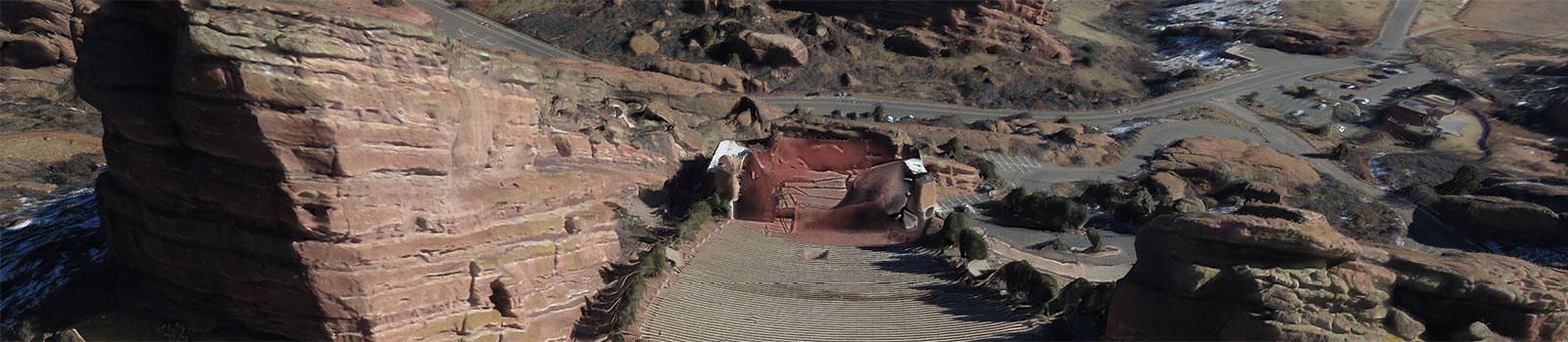
Terrain specialists can now take full advantage of their drone or other mobile sensor images and extract extremely detailed point clouds to apply downstream for site mapping, stockpile volumetrics and geotechnical analysis.
Combining the power of the 3Dflow engine with a simple, intuitive interface allows users to generate textured surfaces from 2D images in minutes.
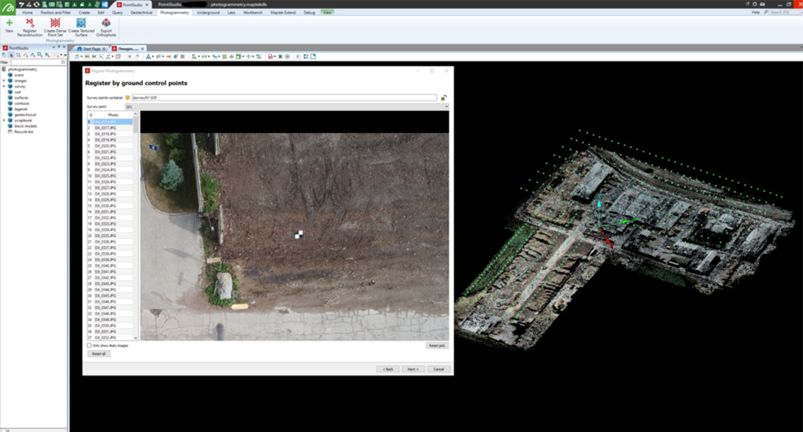
Users can select ground control points or register to existing data, with automatic identification of images with the same target.
Quickly reference point clouds to georeferenced targets or existing point clouds to ensure the resultant dense point cloud is as accurate as possible.
Powered by 3Dflow for optimal photogrammetry solutions.
ReCAPTCHA has failed to load! Try reloading the page to submit this form. ReCAPTCHA no se ha podido cargar. Intente volver a cargar la página para enviar este formulario. Não foi possível carregar ReCAPTCHA. Tente recarregar a página para enviar este formulário. Не удалось загрузить ReCAPTCHA. Попробуйте перезагрузить страницу, чтобы отправить эту форму.