
Drive
Continuous acquisition from a vehicle

Continuous acquisition from a vehicle
Drive Contents
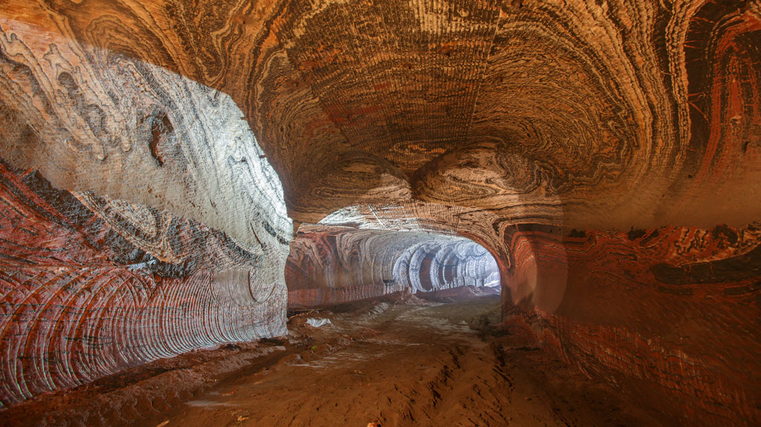
Maptek Drive enables continuous acquisition of laser scan data using a Maptek laser scanner mounted on a moving vehicle. It is designed for mining, quarry and civil operations that require efficient coverage of stockpiles, highwalls, haul roads and other survey areas.
Using an Inertial Navigation System, scans are automatically georeferenced and displayed in the vehicle cab so operators can confirm point density and coverage while work is in progress.
Drive provides a more flexible and cost-effective alternative to dedicated mobile scanning systems, with workflows suited to common mining deliverables. Maptek laser scanners can also be mounted on standard site vehicles without the INS for stop-go scanning deployments.

Common applications, operating priorities, and expected deliverables.
Built for operations that require efficient mobile capture across stockpiles, haul roads, highwalls, corridors and bulk earthworks environments.
Use Drive for continuous vehicle-based scanning, stop-go deployment and repeatable survey workflows that fit active site conditions.
Support stockpile reconciliation, top of coal capture, surface updates and other common mining deliverables with less interruption to site activity.
Drive combines vehicle-based laser scanning with workflows tailored for mining and civil survey, helping teams collect more data, reduce setup overhead and maintain momentum across active sites without leaving the vehicle.
Capture survey data continuously from a moving vehicle so large areas can be covered more quickly. Deliverables can be applied directly within Maptek point cloud and surface processing workflows.
Complete multiple survey applications in the same pass and minimise interruption to site activities, helping survey work fit active production environments.
Features
Benefits
Drive supports efficient mobile acquisition across active mining, quarry and civil environments. Automatic georeferencing and in-cab visibility of scan density and coverage help teams collect data confidently while staying productive in the field.
Common applications include stockpile volumetrics, end-of-month reconciliation, top of coal mapping, haul road survey and highwall mapping. Stationary scans can also be used to collect data for updating surface models.
Because the same scanner can be used across continuous vehicle-based capture, stop-go deployment and more traditional survey modes, Drive offers a practical path to broader site coverage without requiring a separate dedicated mobile system.

Contact Maptek to discuss Drive capabilities, system options and support for continuous vehicle-based scanning workflows.