PointStudio Model Points
Generate accurate triangulation models for future analysis
Generate accurate triangulation models for future analysis
Register now in the Maptek Users Area
Don’t have access to the Users Area?
Contact us to learn about alternate access and other distance learning options.
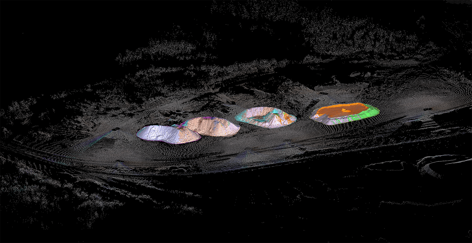
Want to generate precise triangulation models from your scan data for visual, geotechnical, and volumetric analysis? This course explores several modelling algorithms and leverages key methods for your site workflows. Filter scan data to generate accurate triangulation models. Discover several tools and techniques to help you quickly fine-tune your models. Display photographic data on your surface for better visual analysis.
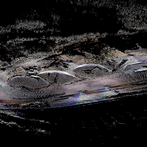
Filter points to ensure accurate triangulation models.
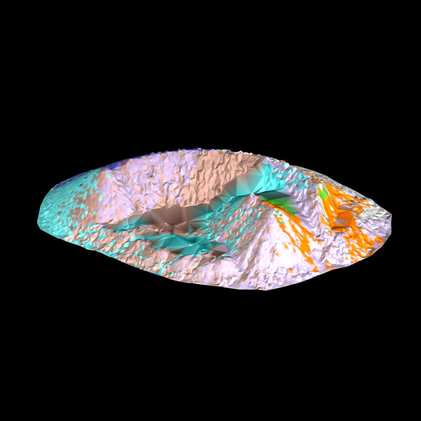
Discover the power of numerous modelling methods.
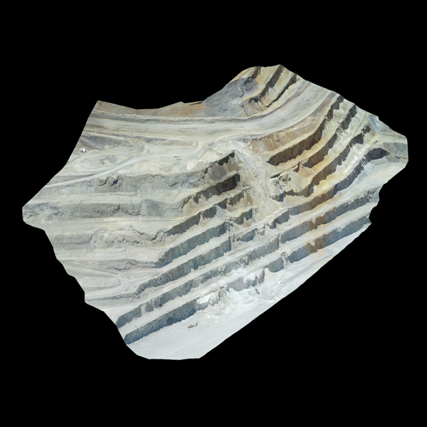
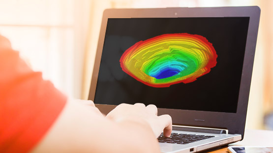
Display photographic data for visual analysis.
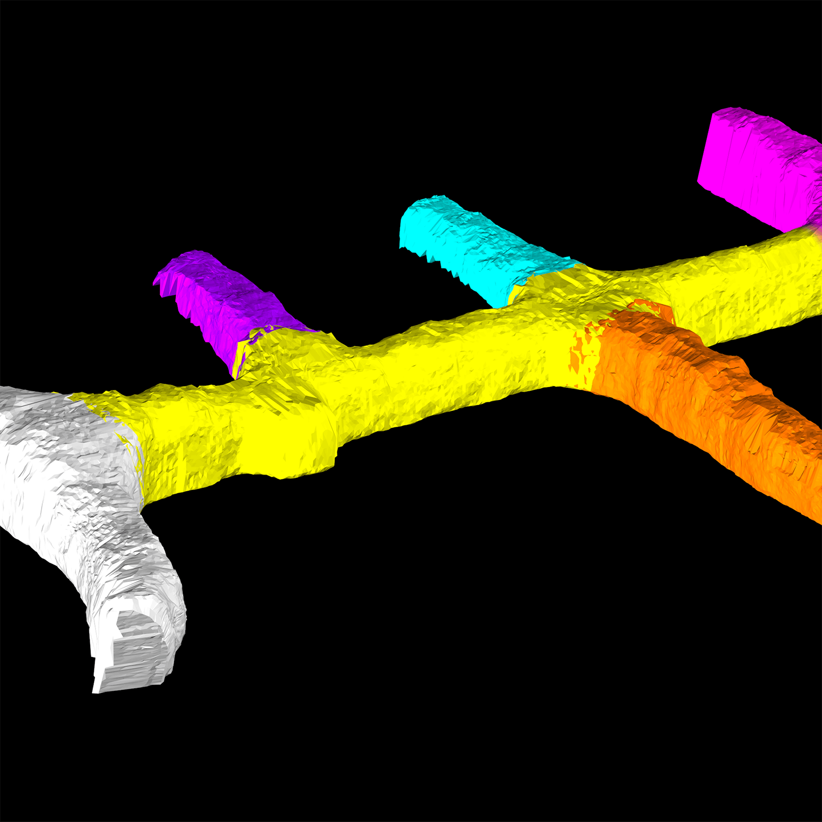
Incorporate your new scan data into existing triangulation models.
Register for PointStudio Model Points to discover how you can leverage your site scans to create the best triangulations for further analysis.
You should take this course if you:
This course is best suited for surveyors, geotechnical engineers, and geologists.