Monday, February 22nd, 2016
All facets of mining increasingly rely on capturing and using quality data. Effective data management and analysis improves production and increases profitability. Mining technology specialist Maptek develops robust systems that apply mining data to more accurately design and model an operation.
Efficient tools for resource definition, stockpile reconciliation and conformance design, which enhance operational safety and productivity will be on show at Maptek Booth 1221 at SME this week in Phoenix, Arizona.
‘Controlling expenditure remains a top priority. Many operations have been monitoring and collecting data, some for decades, and now is the ideal time to review what that data can really do,’ said Rob Hardman, General Manager North America ahead of the event.
‘Maptek monitoring and tracking systems deliver accurate, repeatable results fast. Integration with survey and planning allows operations to better understand their overall mine plan,’ Hardman added. ‘This promotes continuous learning and improvement.’
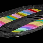
Maptek Vulcan 10, due for release soon, contains a wide range of new and enhanced applications for modelling and analysing data. Performance upgrades will also allow mining professionals to work more efficiently, particularly when working with large datasets.
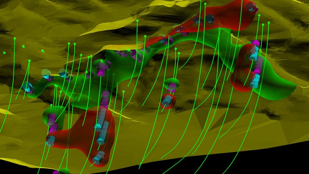
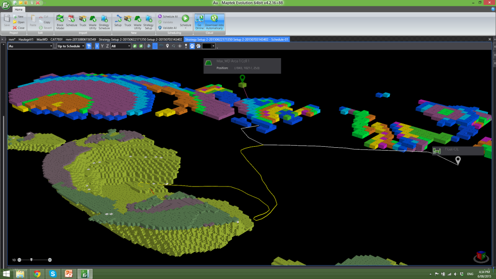
Maptek looks forward to showing the new scheduling tools in Evolution. The dynamic cut-off grade approach optimises material movement which in turn maximises project value. Evolution can be applied across planning horizons from short term to life of mine planning.
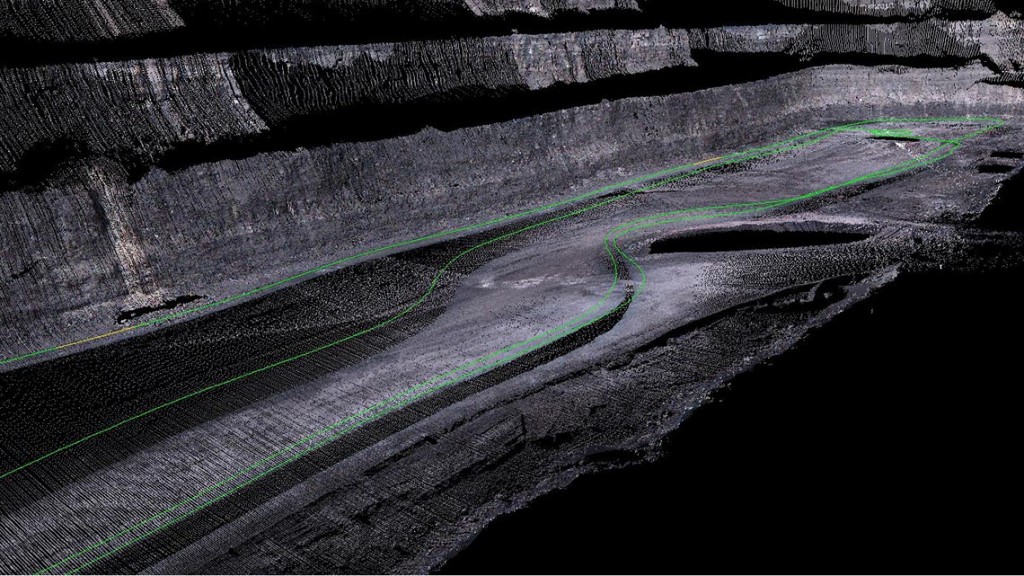
Just released, I-Site Studio 6 features advanced tools to streamline survey data modelling, analysis and reporting. Surveyors, geologists and engineers can take advantage of new CAD, geotechnical and geology tools, auto-registration and scan alignment, complex surface modelling and waviness analysis.
I‑Site Drive allows the continuous acquisition of survey data with an I-Site laser scanner mounted on a moving vehicle. Mining and quarry operations can efficiently scan stockpiles, highwalls and haul roads, cutting survey time by more than 50%.
‘A standout in our range of laser-based solutions is Maptek Sentry. Sentry provides a diagnostic tool for tracking surface movements to support reliable engineering decisions in open pits,’ added Hardman.
Maptek has also upgraded blast modelling and validation tools in BlastLogic since last year’s SME.
‘Maptek is continually developing new technologies to match the change up in industry requirements for scenario planning and sophisticated data analysis,’ Hardman concluded.
‘We’re confident that visitors to SME Booth 1221 will recognise that our systems can help them manage potential risk and secure the best outcomes for their operation.’