Are you getting the most out of your slope stability system?
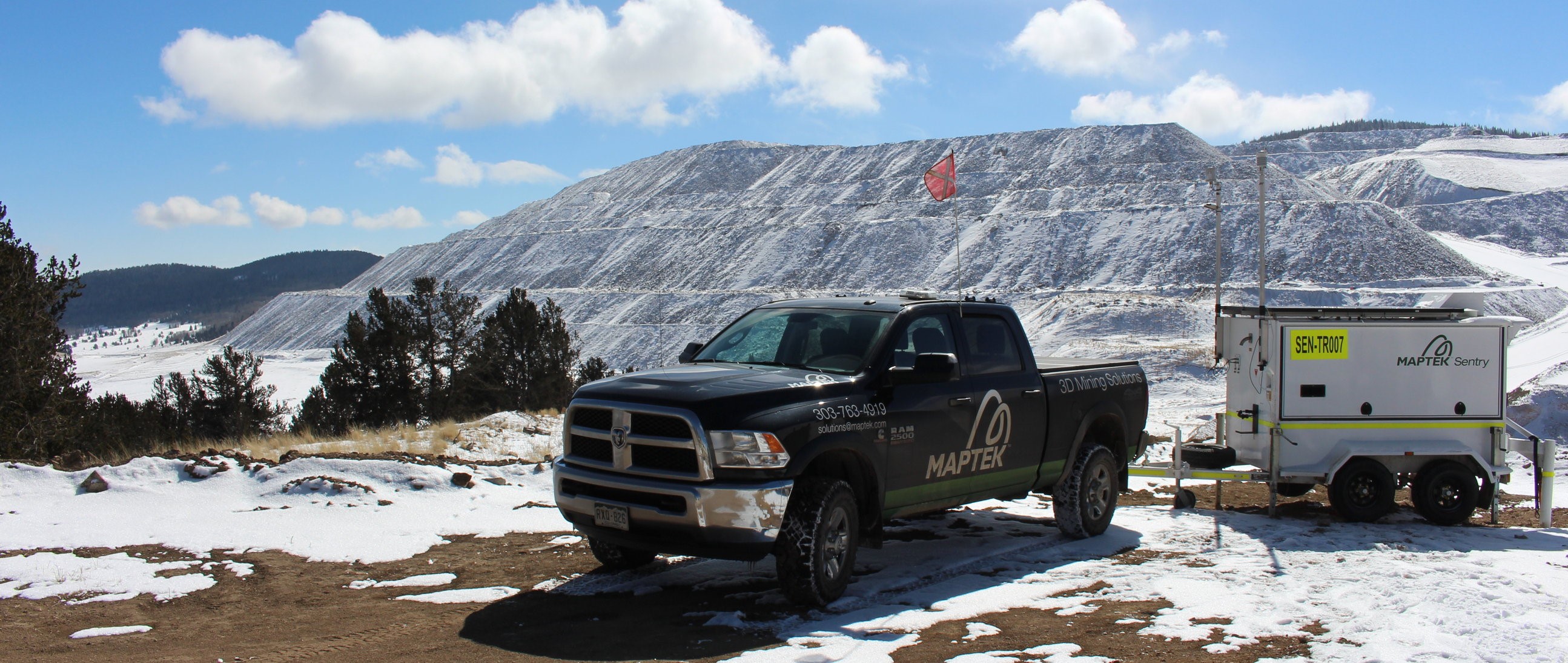
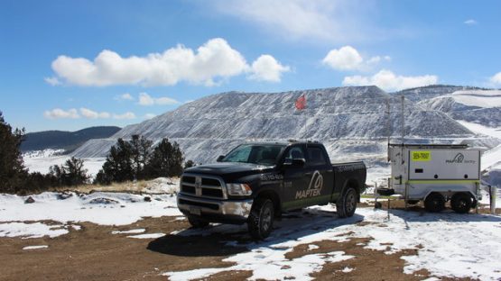
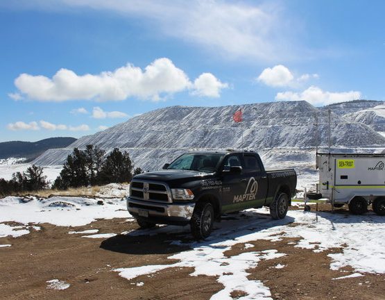
Maptek Sentry, our ground movement and slope stability monitoring system, is primarily designed to allow sites to monitor and react to certain risks in open pit and underground mining operations, including slope failure, tailings or infrastructure displacement and rockfalls.
But that’s not all.
What you may not know is that the system has been configured to perform a whole range of other mining applications, thanks to the 3D laser scanner at its heart.
7 mining applications to help you get the most out of your slope stability system
If you are already using Sentry, or if you are thinking about purchasing it, we want to make sure you know how to obtain its full potential, so let’s explore what else it can do.
Moisture analysis and slope failure simulation
Many operations perform slope failure simulations to help them prepare for potential risks. There are a couple of ways in which you can use Sentry in this respect:
- Failure simulations – Perform a topographic survey of the area you are monitoring. The resulting survey data, combined with your hydrographic data, can be used to enhance your slope failure simulations. Apply 3D topographic model to hydrographic modelling and failure simulations.
- Track moisture trends – Tracking changes in moisture over time allows you to identify seepage as a predictor/contributing factor for potential failure.
Geotechnical analysis
In both open pit and underground operations, Sentry scan data can be used to analyse structures and surfaces, to identify dominant discontinuities and fault trends, and assess the potential impact on extraction.
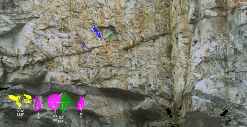
In Sentry, identify geotechnical structures that could be significant to your operation
Geological mapping
Geological contacts can be mapped using scan data and fed into resource and geological models, making them more holistic. As a result, the engineering department can create improved mine plans. Such data is particularly useful in sites with highly complex geology, such as narrow vein gold operations.
Conformance reporting
For safety and productivity reasons, it is vital that extraction/digging matches closely to the mine design. Take periodic scans of your bench or face with Maptek Sentry to quickly identify overbreak and underbreak. Surveys can be performed without interrupting operations and be applied to open pit, or underground in development drives, stopes or crosscuts.
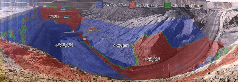
Report on design conformance – blue is overdig, red is underdig
Volumetric reporting
A basic function of laser scanners is to capture accurate volumetric data of stockpiles or of benches that have seen recent or ongoing material extraction. From its fixed position, Sentry can perform the same volumetric analysis of the area you are monitoring. Or, you can detach the laser scanner to perform such analysis across your operation.
If you have the opportunity to regularly move Sentry from its monitoring station, you can perform all of the above applications in other parts of the mine.
Pre & post blast analysis
- Validating collar and burden spacing – Once your drill hole pattern has been drilled, scan the area using Sentry. Then, within the Sentry software, analyse your drilled holes to validate collar and burden spacing.
- Heave/grade control – Scanning pre and post blast with Sentry allows you to determine the direction and distance of heave, which in turn makes it easier to locate your high grade material.
- Fragmentation analysis – Poor fragmentation has a big impact on processing costs. Post blast scanning allows you to accurately report on fragmentation size.
Vehicle surveying
Remove the laser scanner from its monitoring position, attach it to a suitable vehicle and you can quickly survey a large area of stockpiles, waste dumps or infrastructure using continuous or stop-and-go scanning techniques.
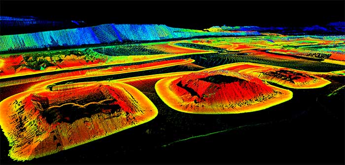
Attach the Sentry scanner to a vehicle to quickly scan stockpiles
Perform multiple applications with one system
Sentry is a powerful ground movement and slope stability monitoring system. It’s important to realise, however, that the system can process, model and filter the point-cloud data it generates to provide valuable information and insights to many teams within your mining operation.
Sometimes, you don’t need a system for each and every task or application. You just need one.
Find out why Hillgrove Resources chooses Maptek Sentry to monitor rockfall at the Kanmantoo copper mine (video).