Geomatics
Capture and process field survey data that supports practical mining decisions in real time
Capture and process field survey data that supports practical mining decisions in real time
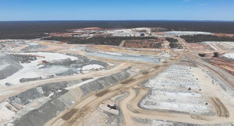
Improve performance by tracking materials and monitoring production with pinpoint precision to close the loop between plan and execution.
From field data capture and point cloud processing to monitoring and scanner control, our solutions help survey teams work faster, maintain confidence in measurements and deliver current information for better site decisions.
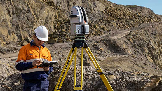
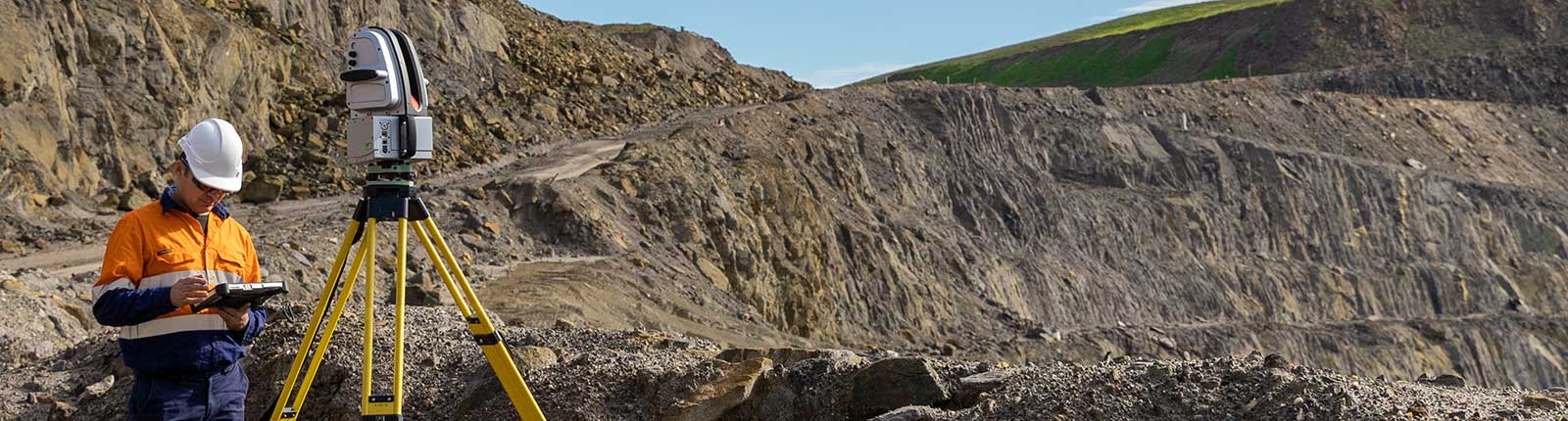
3D laser scanning & imaging
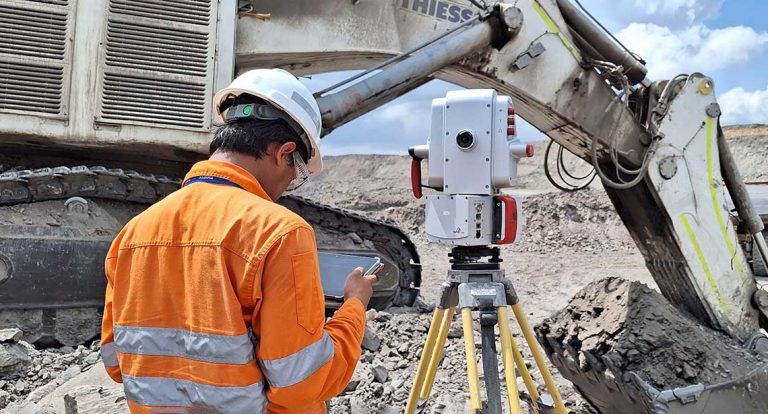
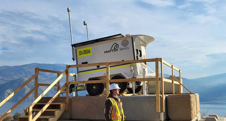
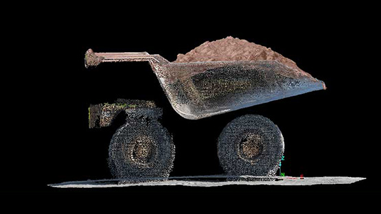
Maptek laser scanners combine rapid data capture, digital imaging and rugged field performance so survey teams can measure safely and efficiently. Capture current site conditions for volumetrics, conformance and geotechnical analysis across surface and underground operations.
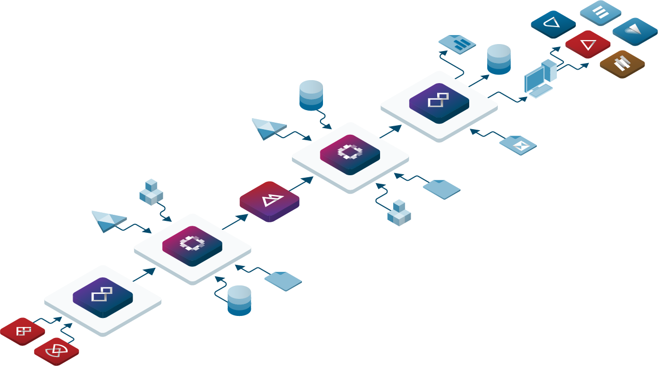
Maptek Vestrex supports secure, up-to-date information sharing and synchronised updates so data can move from the field into connected systems quickly and with confidence.
Launching with laser scanners, then adding a comprehensive portfolio around surveys, sites and field capture, Maptek helps teams measure faster and more accurately.
Improve field-to-model workflows with practical tools that connect data capture, processing and monitoring outcomes.