Maptek Laser Scanners
3D laser scanning & imaging for surface, underground and mobile workflows
3D laser scanning & imaging for surface, underground and mobile workflows
Laser Scanners Contents
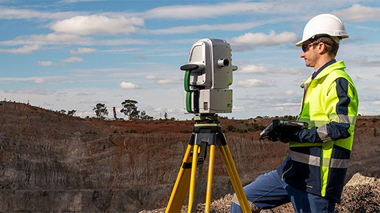
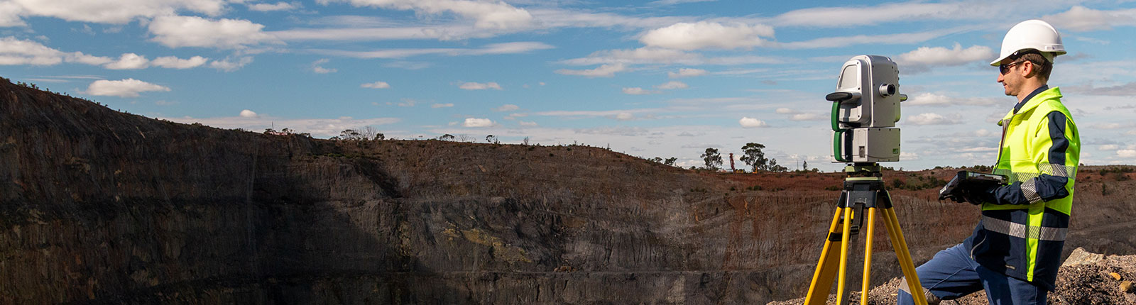
Maptek laser scanners combine fast, accurate sensing, high resolution digital imagery and powerful modelling software to support safe, efficient survey workflows.
Scanner data capture is supported by high quality imagery. This gives survey teams confidence that accurate, current topographic and volumetric data is available to guide mine planning, geotechnical assessment and operational decision making.
Maptek laser scanning solutions are built on more than 45 years of mining technology experience and are supported and serviced in Australia by a team of survey and mining specialists.
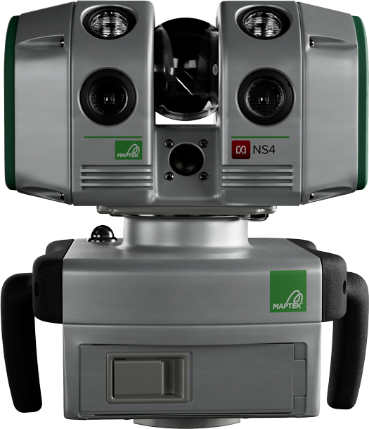
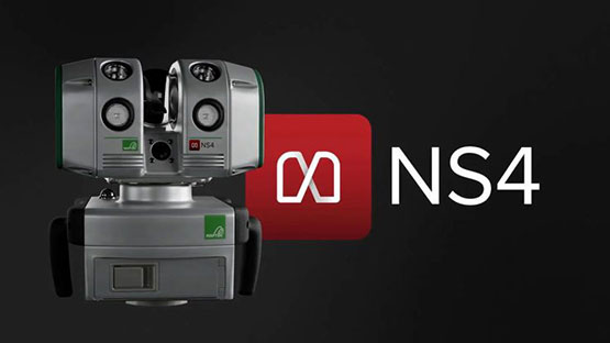
The NS4 is a long-range laser scanner designed for accurate spatial data capture across surface and underground mining, as well as civil and other field-based applications. Pair NS4 with FieldControl to access cloud-connected scan management and real-time survey updates.
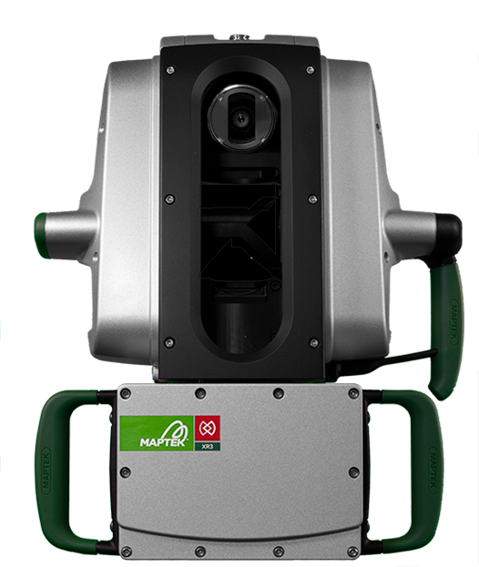
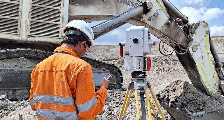
Survey-grade performance in a compact system, optimised for mixed surface and underground workflows.
Maptek laser scanners support accurate, high quality spatial data capture for mining and civil survey applications. This data is combined with high resolution imagery and downstream software workflows. The scanner data helps ensure current topographic and volumetric information is available for mine planning, geotechnical assessment and operational reporting.

From exploration through to mine closure and rehabilitation, Maptek laser scanners can be applied across every stage of the mining lifecycle.
Maptek provides software and workflow tools that make spatial data capture easier, more reliable and more flexible.
Maptek geomatics solutions give surveyors, mine designers, engineers and contractors a connected set of tools for project delivery from early-stage design through to operations. From design conformance and mobile capture to monitoring and reporting, these products support practical mining and civil workflows.