PointStudio CAD Objects
Leverage CAD objects and explore tools to generate CAD data of important site features
Maptek Data System
Maptek Compute Framework
Maptek Orchestration Environment
Join our early access program to unlock value for your organisation.
Drill & blast management
Scheduling and haulage scenarios
Reliable proximity awareness underground
Dynamic survey surface updates
Mine planning & geological modelling
Connected geological modelling solution
Machine learning assisted domain modelling
Material tracking & reconciliation systems
Laser scanning & imaging
Point cloud processing & analysis
LiDAR-based stability & convergence monitoring
Derive value from airborne or mobile sensor data
Leverage CAD objects and explore tools to generate CAD data of important site features
Register now in the Maptek Users Area
Don’t have access to the Users Area?
Contact us
to learn about alternate access and other distance learning options.
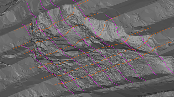
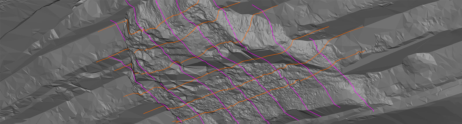
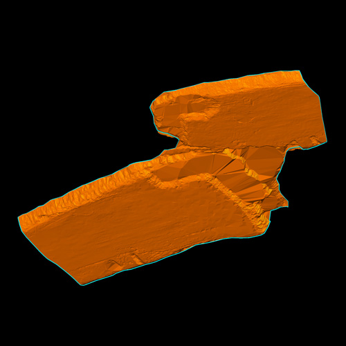
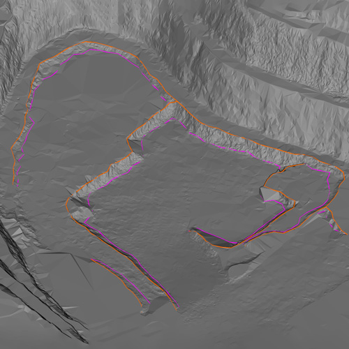
Discover how you can generate CAD data to meet common site requests. Annotate your data with text, grade, or helpful dimensions. Quickly generate boundary polygons, automatically trace features present in scans or triangulations, and refine your CAD data for professional results. Discover tools that help you create accurate representations of spot heights, contours, or section profiles.
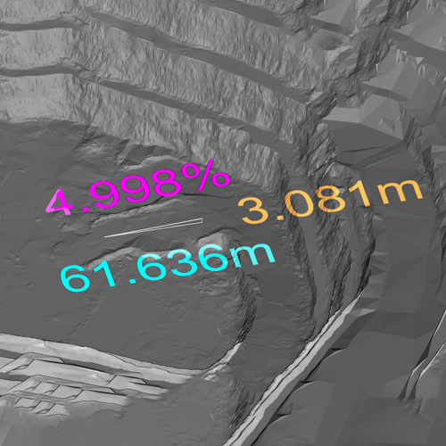
Create informational markers and annotations as CAD data.
Quickly generate objects from existing triangulations.
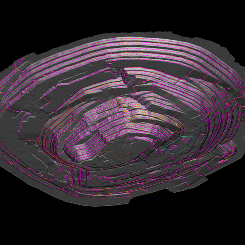
Generate CAD data of important site features.
Create and smooth CAD data for a polished representation of your site data.
Register for PointStudio CAD Objects to discover how you can leverage your triangulation or point cloud data to maintain an accurate representation of your site data.
You should take this course if you:
This course is best suited for surveyors, geotechnical engineers, and geologists.
We use cookies to enhance your browsing experience and analyse our traffic. By clicking "Accept all", you consent to our use of cookies. You can customise your cookie preferences by clicking 'Customise Preferences'.
We use cookies to enhance your browsing experience and analyse our traffic.
Our website may store cookies on your computer in order to improve and customise your future visits to the website. By using cookies, we can track information about your usage of the site and improve your experience with anonymous and aggregated user data.
Review our Privacy PolicyEssential for the website's functionality, without which the site cannot operate smoothly.
Remember user preferences and choices to provide a more personalized experience.
Collect data on how users interact with the website, helping to improve user experience.
Used to deliver targeted advertisements to users based on their browsing behavior and preferences.