PointStudio Model Points
Generate accurate triangulation models for future analysis
Maptek Data System
Maptek Compute Framework
Maptek Orchestration Environment
Join our early access program to unlock value for your organisation.
Drill & blast management
Scheduling and haulage scenarios
Reliable proximity awareness underground
Dynamic survey surface updates
Mine planning & geological modelling
Connected geological modelling solution
Machine learning assisted domain modelling
Material tracking & reconciliation systems
Laser scanning & imaging
Point cloud processing & analysis
LiDAR-based stability & convergence monitoring
Derive value from airborne or mobile sensor data
Generate accurate triangulation models for future analysis
Register now in the Maptek Users Area
Don’t have access to the Users Area?
Contact us
to learn about alternate access and other distance learning options.
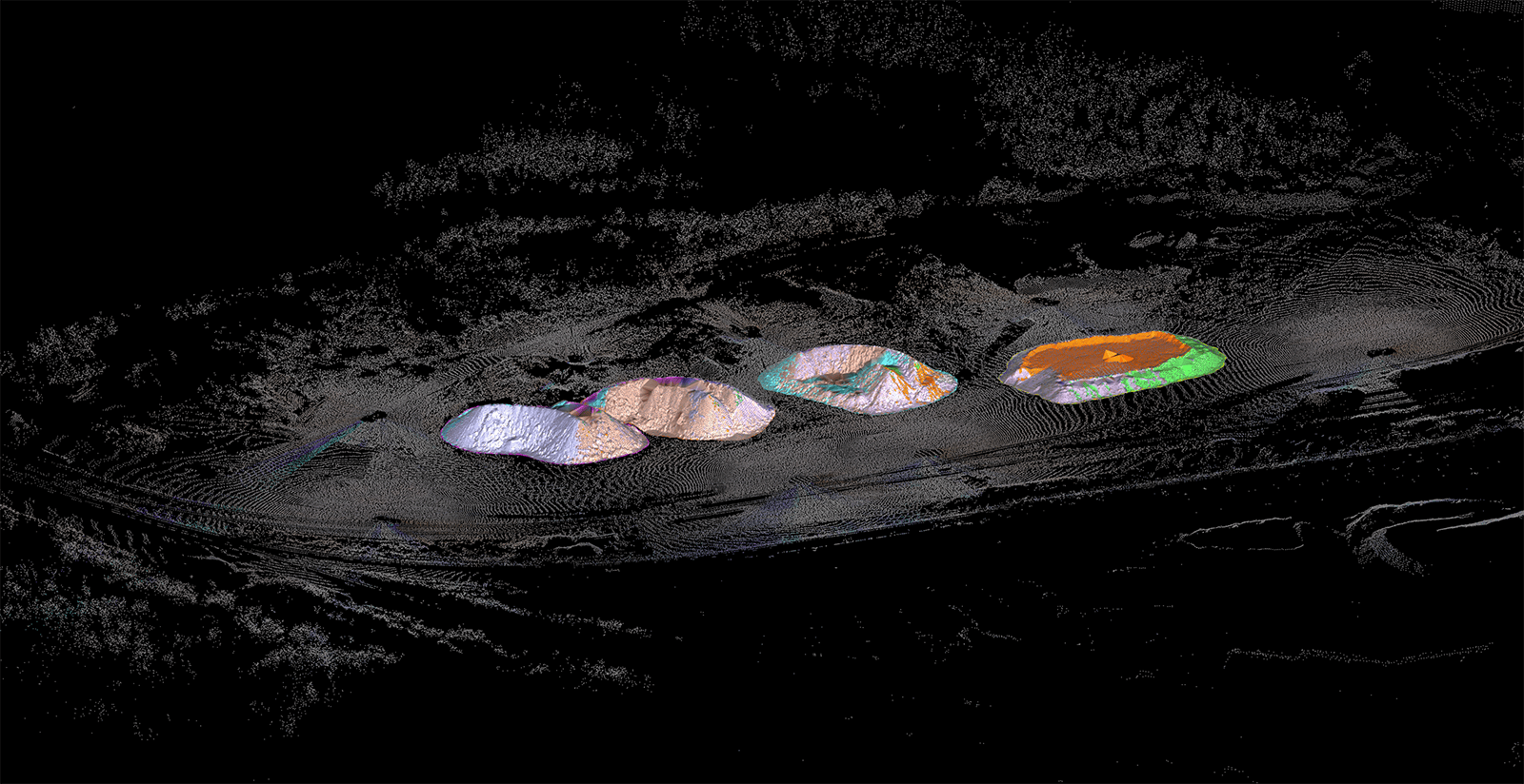
Want to generate precise triangulation models from your scan data for visual, geotechnical, and volumetric analysis? This course explores several modelling algorithms and leverages key methods for your site workflows. Filter scan data to generate accurate triangulation models. Discover several tools and techniques to help you quickly fine-tune your models. Display photographic data on your surface for better visual analysis.
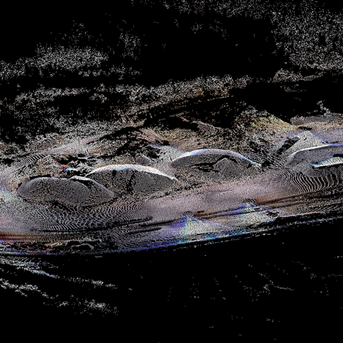
Filter points to ensure accurate triangulation models.
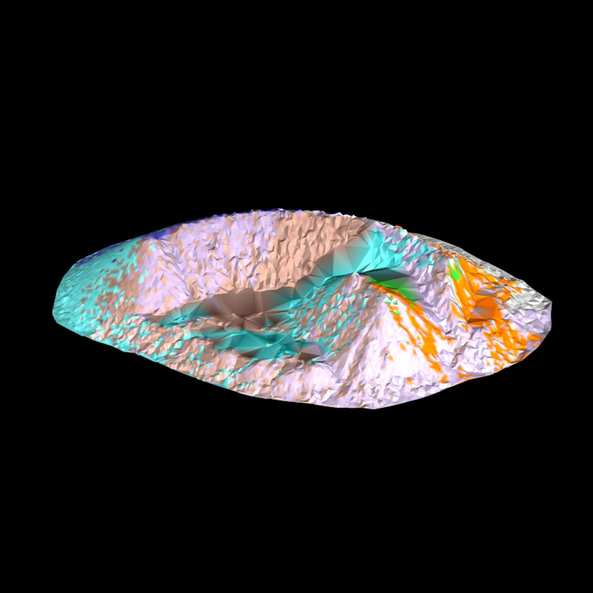
Discover the power of numerous modelling methods.
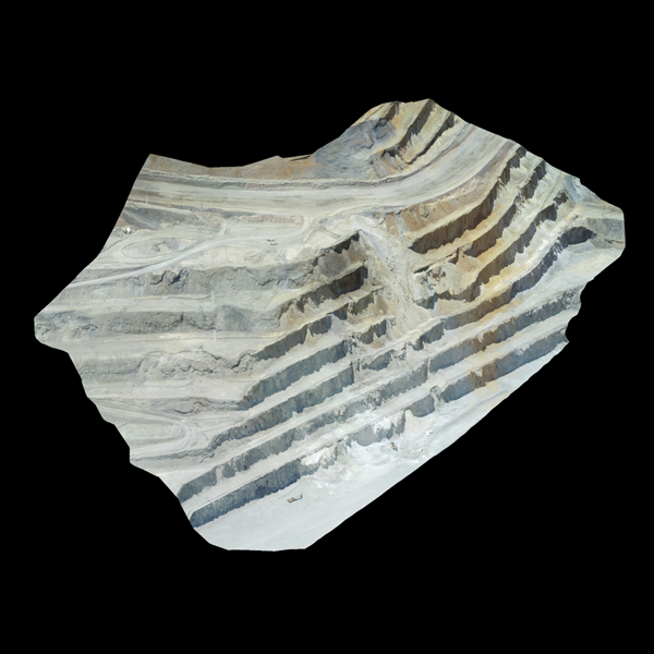
Display photographic data for visual analysis.
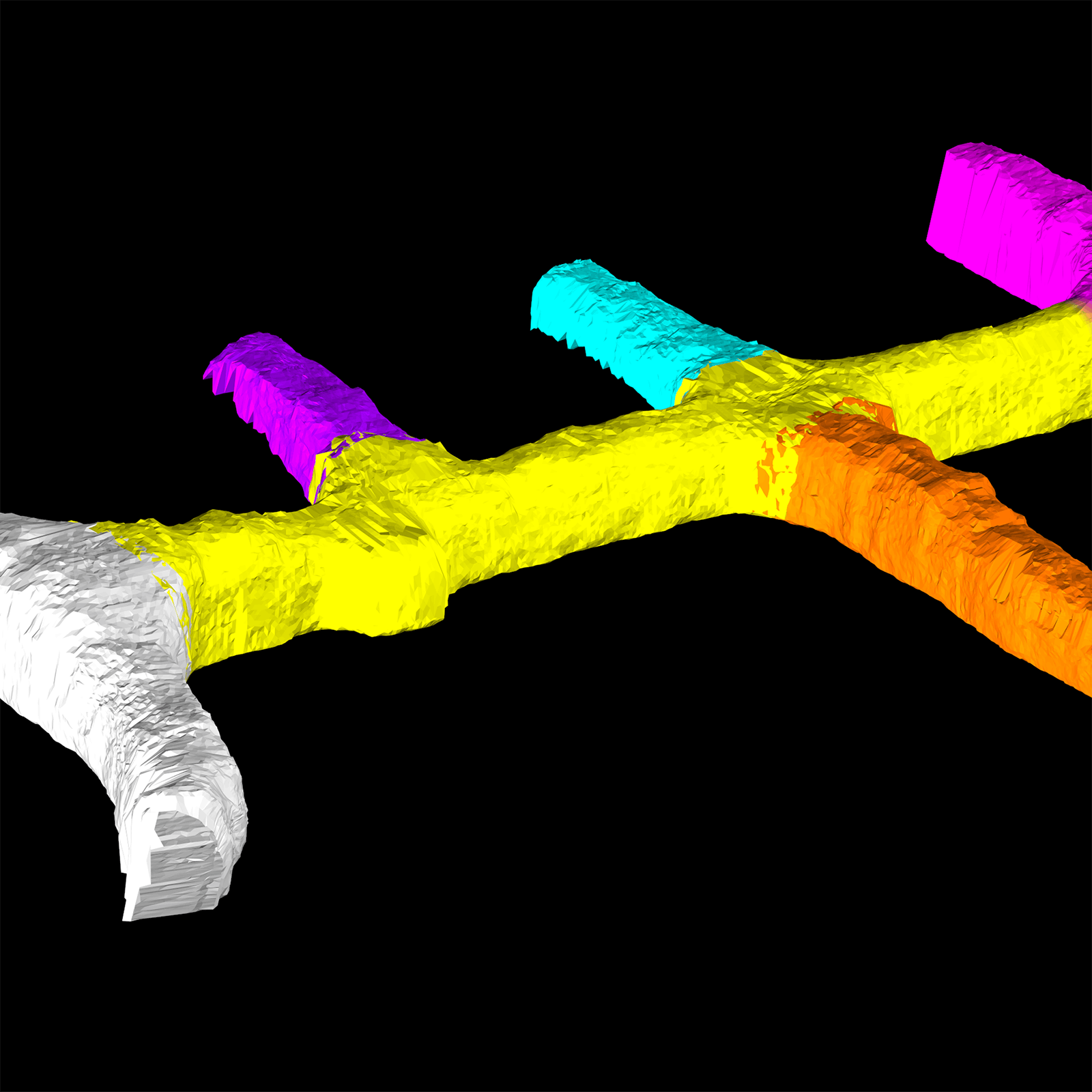
Incorporate your new scan data into existing triangulation models.
Register for PointStudio Model Points to discover how you can leverage your site scans to create the best triangulations for further analysis.
You should take this course if you:
This course is best suited for surveyors, geotechnical engineers, and geologists.
We use cookies to enhance your browsing experience and analyse our traffic. By clicking "Accept all", you consent to our use of cookies. You can customise your cookie preferences by clicking 'Customise Preferences'.
We use cookies to enhance your browsing experience and analyse our traffic.
Our website may store cookies on your computer in order to improve and customise your future visits to the website. By using cookies, we can track information about your usage of the site and improve your experience with anonymous and aggregated user data.
Review our Privacy PolicyEssential for the website's functionality, without which the site cannot operate smoothly.
Remember user preferences and choices to provide a more personalized experience.
Collect data on how users interact with the website, helping to improve user experience.
Used to deliver targeted advertisements to users based on their browsing behavior and preferences.