3D interpretation using core tray photos and televiewer data

Access to the latest technologies and innovations allow you to create superior 3D interpretations and build more accurate geological models. Advanced technological developments, including sophisticated laser scanning systems and enhanced sensor devices that capture data at different zones and depths, provide greater flexibility and precision in building scenario visualisations and make further progress in software engineering and science.
Putting 3D interpretations into practice
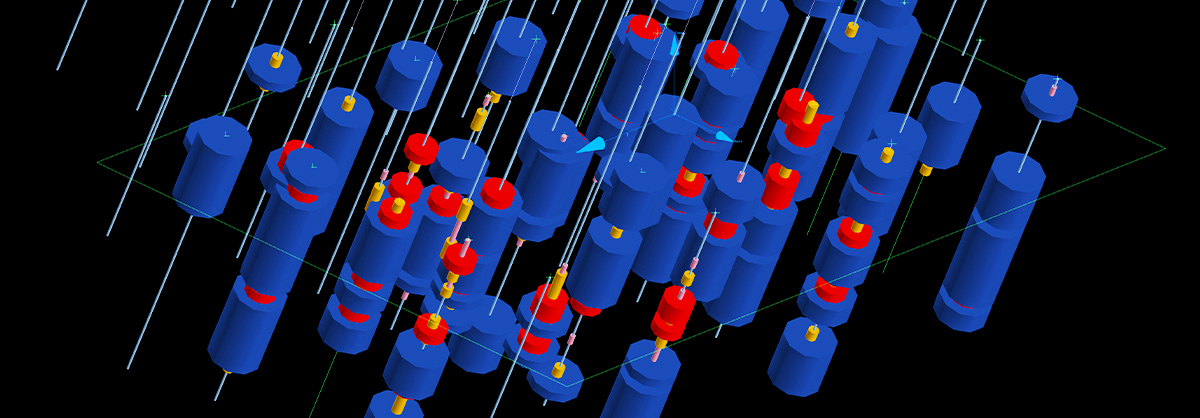
Maptek Vulcan enables you to use all your geological data to generate models from core tray photos, assay data sheets, drill logs, mapping data, downhole geophysics through to televiewer feed. You can also apply various attributes to photographic images that can be used for the interpretation of 3D models.
In this short video I will show you how to simply map structures from acoustic televiewer data and add the details to a geotechnical database in Vulcan:
As you may have noticed, employing the televiewer data in mine design projects contributes significantly to increased efficiency and quality of information that’s collected and stored for future analysis. Anyone involved in recording depth measurements is aware of how challenging it is to ensure the data is reliable. Due to the high costs of generating structural databases, televiewer data provides great benefits to the mine design process as it increases the confidence in end results.
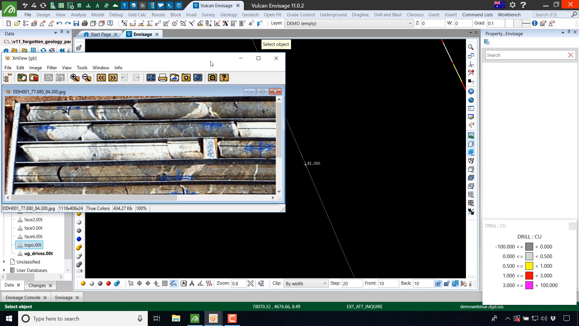
What’s more, Vulcan allows the photographic images to be named with a syntax that can be linked to the drillhole database. This makes it possible to identify the drillhole name and the downhole intervals within each tray.
Drillhole identification and accurate data documentation allows for problems and potential risks to be recognised early as it provides reliable historical information for analysis and reporting. Mining projects and exploration campaigns need to efficiently allocate resources and the drillhole database provides all the necessary and relevant information to ensure that mine safety and productivity is achieved. It’s worth mentioning that the drillhole database contains critical information that is not recoverable, therefore ensuring that the data recorded is accurate can determine the overall success of the project.
There are many different techniques for digitising the drillholes that can be used to enhance the geological model process. In this short video I will discuss how to access the core tray information associated with drillholes (with the click of a mouse) in Vulcan:
Explore our webinars and instructional videos to learn more about comprehensive digital tools and flexible functionality in designing mine sites using Vulcan. Read more


