Menu
Vestrex
Automation & orchestration for strategic decision making
MDS
Maptek Data System
MCF
Maptek Compute Framework
MOE
Maptek Orchestration Environment
Join our early access program to unlock value for your organisation.
BlastLogic
Drill & blast management
Evolution
Scheduling and haulage scenarios
VisionV2X
Reliable proximity awareness underground
GeoSpatial Manager
Dynamic survey surface updates
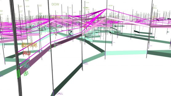
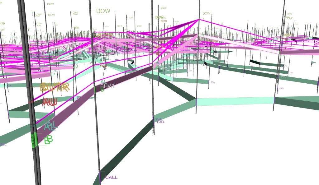
Vulcan
Mine planning & geological modelling
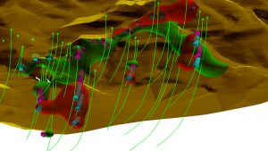
GeologyCore
Connected geological modelling solution
DomainMCF
Machine learning assisted domain modelling
Maptek Resource Tracking
Material tracking & reconciliation systems
Laser Scanners
Laser scanning & imaging
PointStudio
Point cloud processing & analysis
Sentry
LiDAR-based stability & convergence monitoring
PointModeller
Derive value from airborne or mobile sensor data
Products
Vulcan
Laser
Scanners
PointStudio
BlastLogic
Evolution
Sentry
GeologyCore
GeoSpatial Manager
VisionV2X
DomainMCF
PointModeller
Resource Tracking
 Vulcan implicit modelling tools provide RBF and uncertainty modelling regimes for working with complex geological domains. Users can maximise the use of all historical, drilling and assay data to run different scenarios for efficiently assessing the potential grade and tonnage of a resource. Sub-blocking allows accurate modelling of geological contacts and boundaries, and users can modify solids in freehand mode by pinching, smoothing and cutting to better represent geological interpretation.
 decisions going forward. Underground stope optimisation and the integrated Gantt scheduler allow users to perform a quick desktop study of the deposit. Flexible optimisation routines are tailored to your site.