FieldHHC
Register, review and verify scans in the field
Maptek Data System
Maptek Compute Framework
Maptek Orchestration Environment
Join our early access program to unlock value for your organisation.
Drill & blast management
Scheduling and haulage scenarios
Reliable proximity awareness underground
Dynamic survey surface updates
Mine planning & geological modelling
Connected geological modelling solution
Machine learning assisted domain modelling
Material tracking & reconciliation systems
Laser scanning & imaging
Point cloud processing & analysis
LiDAR-based stability & convergence monitoring
Derive value from airborne or mobile sensor data
Register, review and verify scans in the field
FieldHHC Contents
Table of Contents
Models
Tools & Workflows
Related Pages
Support & Documentation
Table of Contents
Models
Tools & Workflows
Related Pages
Support & Documentation
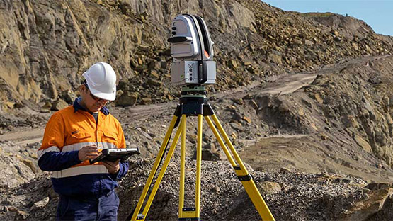
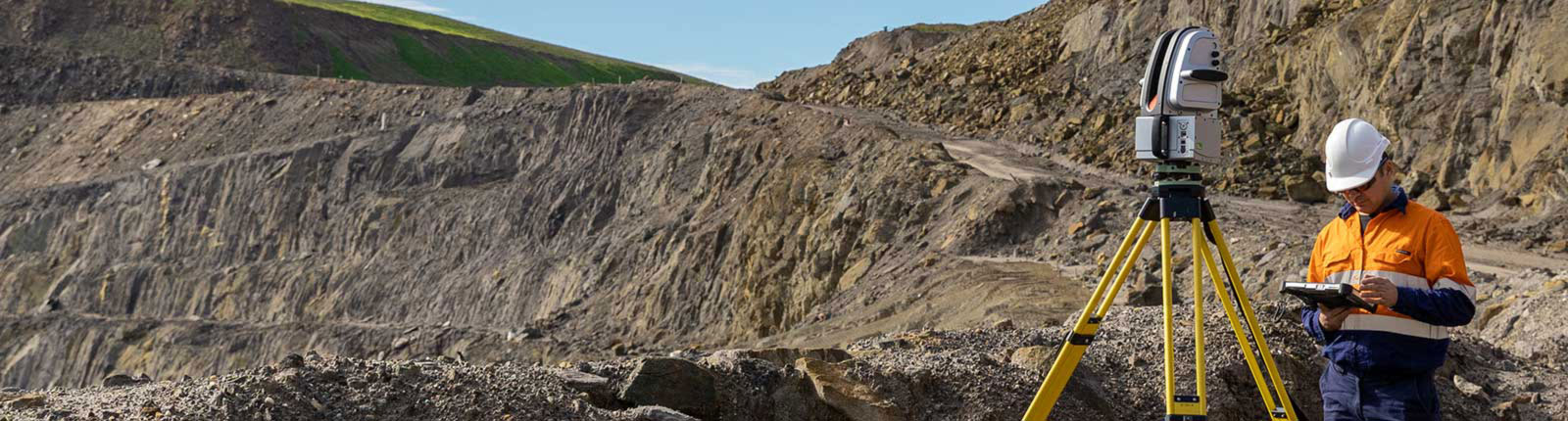
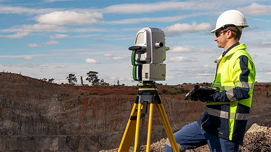
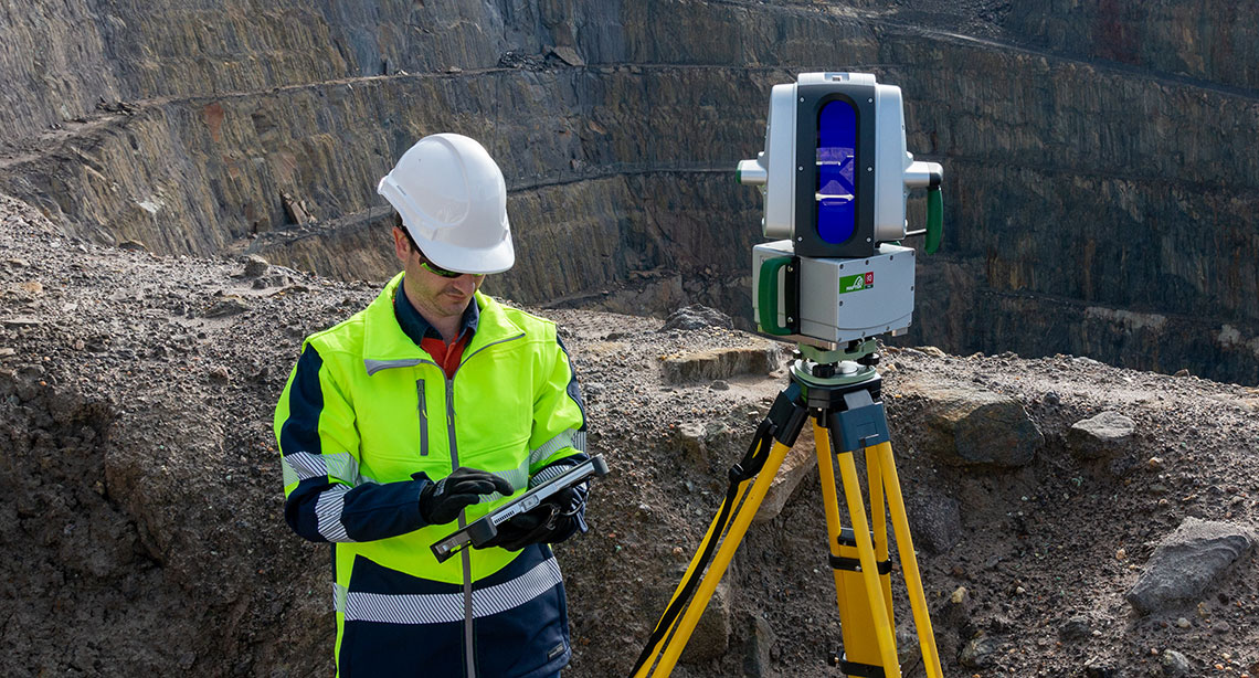
Maptek FieldHHC supports field-based scan registration, setup and control for Maptek laser scanners. It follows standard survey setup and scan georeferencing workflows, helping teams confirm capture quality, review data on site and hand over cleaner datasets for downstream processing.
With in-field visualisation, measuring tools, RTK GPS integration and multilingual support, FieldHHC helps survey teams work more efficiently across mining and civil environments.
Common applications, operating priorities, and expected deliverables.
Built for survey teams using Maptek laser scanners across mining and civil projects.
Use FieldHHC to register scans, review coverage, measure in the field and compare captured data against design before leaving site.
Support accurate conformance checks, reduce missed capture and deliver more complete data into office workflows.
FieldHHC combines an easy-to-use field interface with tools for registration, scan review and design conformance, helping teams verify work on site rather than waiting for office processing.
Complete registration and review on site to improve alignment, reduce rework and support cleaner handover into downstream workflows.
Compare captured data to design in the field so teams can identify non-conformance earlier and respond sooner.
Features
Benefits
FieldHHC helps survey teams resolve issues at the point of capture. Registration, scan review and design comparison happen in the field, so teams can assess results sooner and work from current data while conditions are still visible on site.
This supports earlier conformance checks, faster follow-up and clearer communication of findings. Cross section outputs and reporting help teams share results, while registration tools help confirm data quality before scanner positions change or crews move on.
The result is more reliable handover into office workflows, with cleaner datasets ready for downstream processing and analysis.

Contact Maptek to discuss FieldHHC workflows, scan registration, and support for field-based verification and design conformance.
ReCAPTCHA has failed to load! Try reloading the page to submit this form. ReCAPTCHA no se ha podido cargar. Intente volver a cargar la página para enviar este formulario. Não foi possível carregar ReCAPTCHA. Tente recarregar a página para enviar este formulário. Не удалось загрузить ReCAPTCHA. Попробуйте перезагрузить страницу, чтобы отправить эту форму.
We use cookies to enhance your browsing experience and analyse our traffic. By clicking "Accept all", you consent to our use of cookies. You can customise your cookie preferences by clicking 'Customise Preferences'.
We use cookies to enhance your browsing experience and analyse our traffic.
Our website may store cookies on your computer in order to improve and customise your future visits to the website. By using cookies, we can track information about your usage of the site and improve your experience with anonymous and aggregated user data.
Review our Privacy PolicyEssential for the website's functionality, without which the site cannot operate smoothly.
Remember user preferences and choices to provide a more personalized experience.
Collect data on how users interact with the website, helping to improve user experience.
Used to deliver targeted advertisements to users based on their browsing behavior and preferences.