image_description

Geotechnical Tools

Add-on
PointStudio
PointModeller
GeologyCore
Maptek

Geotechnical Add-on

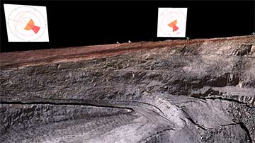
The Geotechnical add-on provides geologists and geotechnical engineers with powerful tools for analysing structures and undertaking kinematic analysis. Working directly on laser scan data ensures accurate and informative geotechnical reporting to guide mine planning and operational decisions.

  • Extend discontinuities Expanded
    Extend Discontinuity Planes to analyse blast block solids and pit advancement solids with a single click
  • Discontinuity solids
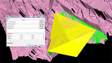
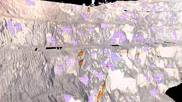
    Create solids from discontinuities to determine shape, size and volume of wedge failures
  • Discontinuity spacing
    Calculate average spacing between discontinuities for structural persistence analysis
  • Customisable stereonet viewer
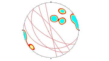
    Set stereonet background colour, point and line size; add planes, poles and intersections
  • Display drilling blind zones on stereonets
    Easily identify regions where drillhole analysis will provide poor geotechnical information with setup including drillhole trend, plunge and intersection angle limit
  • Kinematic analysis
    Full kinematic analysis for planar, wedge and toppling failures with new auto failure zone shading
  • Dynamic dip and strike
    Drag-drop discontinuities onto kinematic slope fields dynamically adds dip/strike direction and displays failure zones
  • Stability analysis
    Waviness tool produces histograms showing variations in apparent dip
  • Automated cell mapping
    User-defined cells for structural mapping, statistical analysis and pdf reporting
  • Interactive stereonet
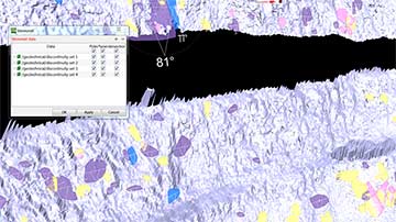
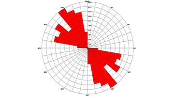
    Direct interactive link between your 3D discontinuities and the 2D stereonet; create stereonets and rose diagrams direct from 3D data; display great circles, intersections and poles
  • Productive workflow
    Automatic and manual extraction of discontinuities, including intelligent extraction of discontinuities, speeding up the process for complex surfaces
  • Specialised tools
    Contour stereonet poles or intersections and create set windows to highlight areas of interest
  • Import/Export
    Bring other data into stereonets for complete analysis; export common file formats
  • Accurate results
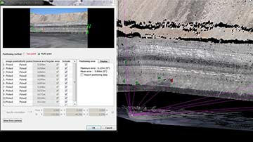
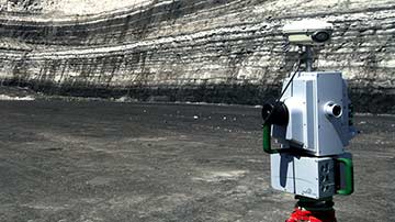
    Work directly off your 3D laser scan data for accurate results
  • Safety issues
    Identify structural weaknesses and dominant trends and their impact on operations
  • Easy to use
    Simple intuitive workflow with new right-mouse context menu options for smarter routines
  • Dynamic platform
    Full 3D visualisation for better understanding and visualisation of structures

Case Studies

Understanding shear zones

Maptek laser scanning helped AECOM to extract geotechnical information on shear zones in this quarry in southeastern Australia.

Read More

Accurate models aid ground support

Maptek I-Site Studio generates high resolution models for geological mapping and ground support quality control at a large mine in Utah.

Read More

Highwall mapping for mine geology

User friendly systems and workflow allow surveyors to scan highwalls quickly and easily, capturing data at the same time as daily or end of month surveys.

Read More