FieldControl
Mobile scan control for faster field decisions
Maptek Data System
Maptek Compute Framework
Maptek Orchestration Environment
Join our early access program to unlock value for your organisation.
Drill & blast management
Scheduling and haulage scenarios
Reliable proximity awareness underground
Dynamic survey surface updates
Mine planning & geological modelling
Connected geological modelling solution
Machine learning assisted domain modelling
Material tracking & reconciliation systems
Laser scanning & imaging
Point cloud processing & analysis
LiDAR-based stability & convergence monitoring
Derive value from airborne or mobile sensor data
Mobile scan control for faster field decisions
FieldControl Contents
Table of Contents
Models
Tools & Workflows
Related Pages
Support & Documentation
Table of Contents
Models
Tools & Workflows
Related Pages
Support & Documentation
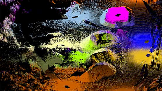
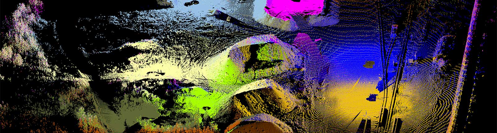
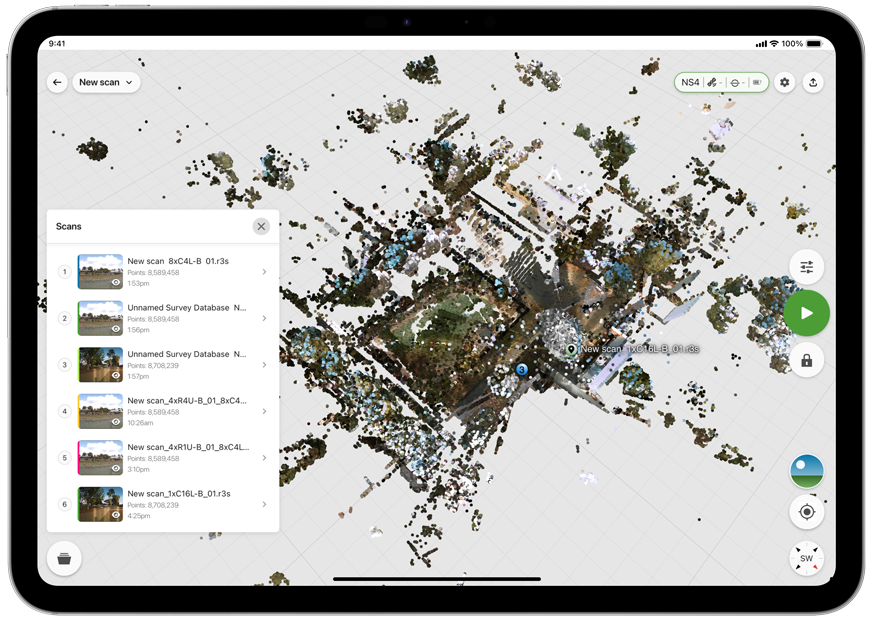
FieldControl enables survey, engineering and field operations teams to control NS4 laser scanning and viewing scans directly from Apple and Android devices.
The application connects to NS4 laser scanners to control scan capture, verify coverage, conduct in-field registration, and review data while still in the field. Teams can confirm that the required information has been collected before leaving site, reducing delays and avoiding unnecessary rework.
FieldControl follows established survey setup and scan georeferencing workflows, while providing a modern mobile interface designed for faster field operation.
Cloud connectivity allows captured scans to be uploaded directly to Maptek Data System*, enabling immediate access for office teams and automated processing workflows.
Common applications, operating priorities, and expected deliverables.
Surveyors, geologists, geotechnicians and engineers capturing terrain, monitoring conditions and collecting site data.
Control scans, review captured data and verify coverage while still on site.
Accurate scan data delivered directly into office workflows and automated processing systems.
FieldControl combines mobile usability with scan controlling capabilities, helping teams capture, validate and deliver field data with confidence.
Register and review scans in the field to confirm coverage before leaving site.
Upload scans directly to Maptek Data System for processing, analysis and automated workflows.
Features
Benefits
FieldControl helps surveyors capture and validate scan data while work is still underway on site.
Surveyors can connect to a scanner, configure a scan job and confirm that all required areas have been captured before leaving the location. Immediate scan review and measurement tools help identify missing coverage or setup issues early, reducing repeat site visits.
For monitoring programs, field crews can complete repeat scans, confirm alignment and upload results directly to Maptek Data System (MDS). Engineers and geotechnical teams can begin analysis sooner while operations continue.
MDS allows captured data to be shared with office teams or automated processing pipelines as soon as connectivity is available, reducing delays between field work and decision making.*
Contact Maptek to discuss scanning capabilities, options and services suited to your priorities and site environment.
Contact support at anytime for assistance from our global team of surveyors and mining engineers. Access support from any of our 16 offices worldwide.
* FieldControl cloud storage and real-time survey update features are coming late 2026.
ReCAPTCHA has failed to load! Try reloading the page to submit this form. ReCAPTCHA no se ha podido cargar. Intente volver a cargar la página para enviar este formulario. Não foi possível carregar ReCAPTCHA. Tente recarregar a página para enviar este formulário. Не удалось загрузить ReCAPTCHA. Попробуйте перезагрузить страницу, чтобы отправить эту форму.
We use cookies to enhance your browsing experience and analyse our traffic. By clicking "Accept all", you consent to our use of cookies. You can customise your cookie preferences by clicking 'Customise Preferences'.
We use cookies to enhance your browsing experience and analyse our traffic.
Our website may store cookies on your computer in order to improve and customise your future visits to the website. By using cookies, we can track information about your usage of the site and improve your experience with anonymous and aggregated user data.
Review our Privacy PolicyEssential for the website's functionality, without which the site cannot operate smoothly.
Remember user preferences and choices to provide a more personalized experience.
Collect data on how users interact with the website, helping to improve user experience.
Used to deliver targeted advertisements to users based on their browsing behavior and preferences.