June 2018 Issue Index
Flexible modelling approaches
Maptek has nearly 40 years of experience delivering geological modelling software to the global exploration and mining industry.
Maptek provides an integrated suite of ‘implicit’, grid, triangulation and block tools to build any type of geological model, through manual, automatic or hybrid processes. Our software is the culmination of millions of development hours and interaction with our customers to provide a universal toolkit for geological modelling.
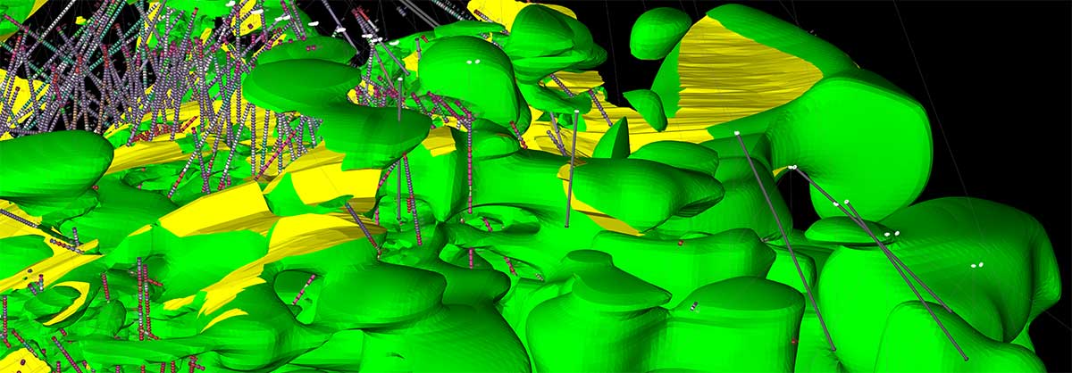
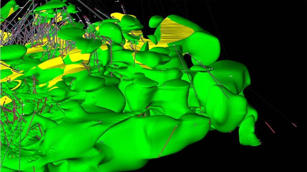
Implicit modelling is just one of a set of tools used in parsing disparate geological information to build a representative model of a deposit. Implicit modelling on its own can be used to solve some geological problems but it is not the only technique for every orebody or seam.
Implicit modelling is really another term for automated modelling, where algorithms are used to operate on data and generate a mathematical surface model. Maptek pioneered automated modelling of stratigraphic seams, initially for the coal industry in the early 1980s. These tools have been actively enhanced over the decades and are still important for the day-to day-operations of our customers.
Automated modelling is now in vogue for precious and base metal deposits, and Maptek has extended software capability to cover industry needs in this area.
Recent implementations have shown that integrating implicit modelling in a broader geological modelling workflow within the Maptek Workbench has significant advantages over trying to combine multiple third-party applications.
For each set of data, there is no single, unique implicit solution when modelling. Input parameters can be modified to provide some user control during the process.
Generating a range of output surfaces allows uncertainty in the model building process to be assessed and taken into account for subsequent resource modelling.
It must be remembered that even if using a single surface to constrain attributes with a resource block model, this surface is only a model, an approximation, or an average value of the real position of the geological surface. Geometric uncertainty is often overlooked through the emphasis on modelling of the distribution and interpolation of numeric analytical data within a resource model.
With Maptek software users can better understand the potential impact of uncertainty on the economics of mining.
Geological data can be complex, and computations can stress even modern computing. Automated modelling by necessity is a batch process. The user must define input parameters, add data, model, wait while output is generated, review data, change input parameters and repeat the process until a desirable result is attained.
Maptek’s development roadmap will extend current modelling techniques to provide dynamic response to changes in input parameters, providing fast turnaround and timely decision support for planners.