Menu
Vestrex
Automation & orchestration for strategic decision making
MDS
Maptek Data System
MCF
Maptek Compute Framework
MOE
Maptek Orchestration Environment
Join our early access program to unlock value for your organisation.
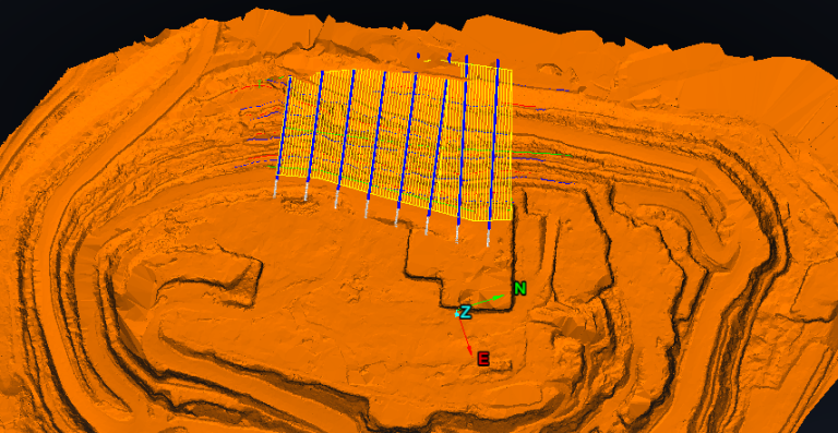
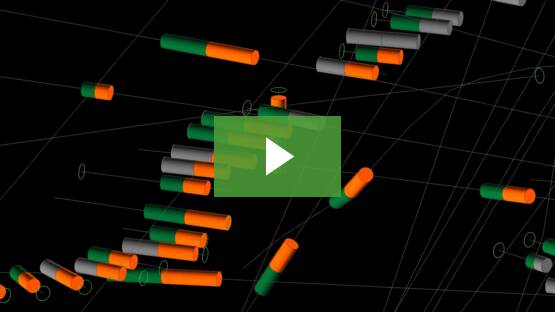
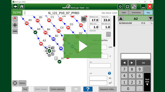
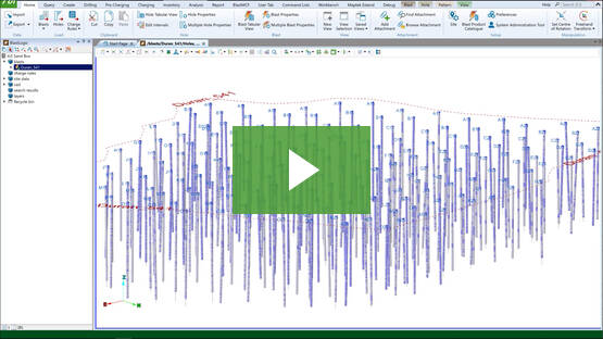
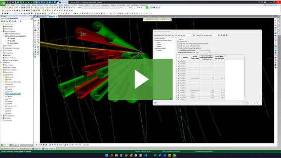
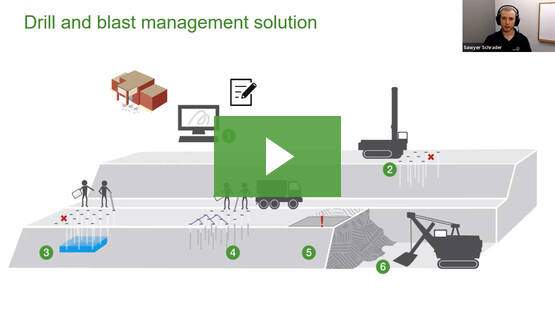
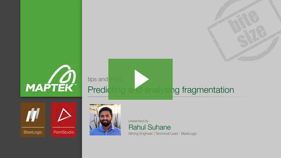
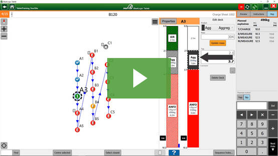
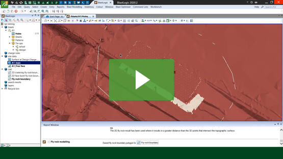
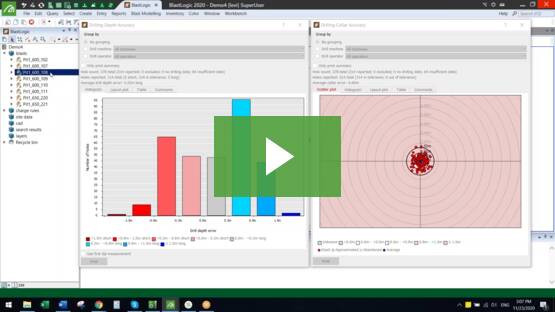
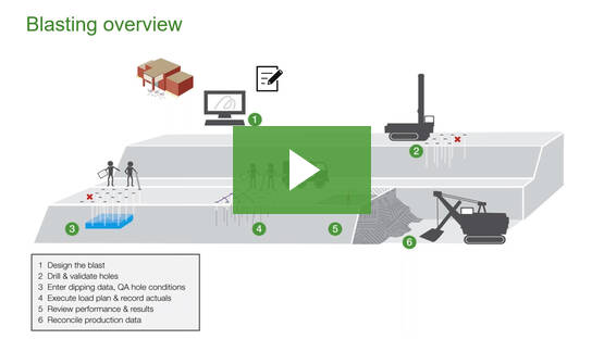
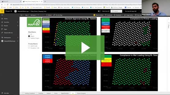
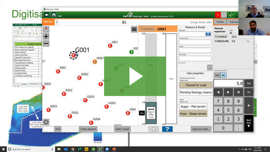
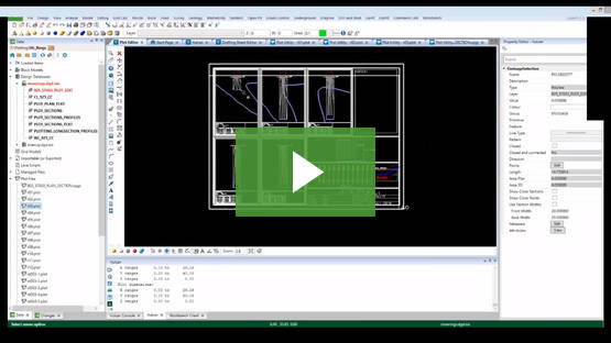
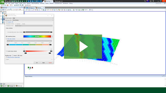
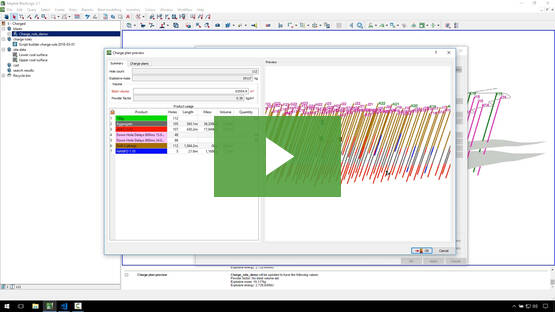
BlastLogic
Drill & blast management
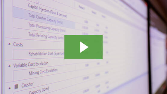
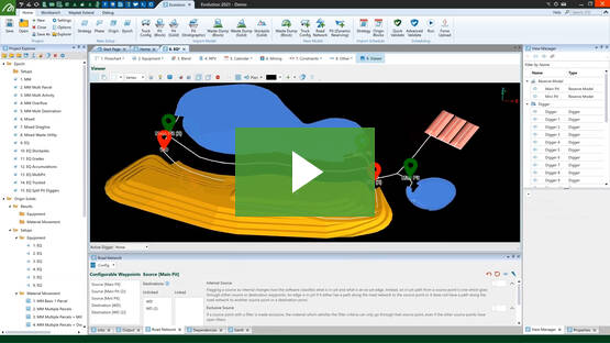
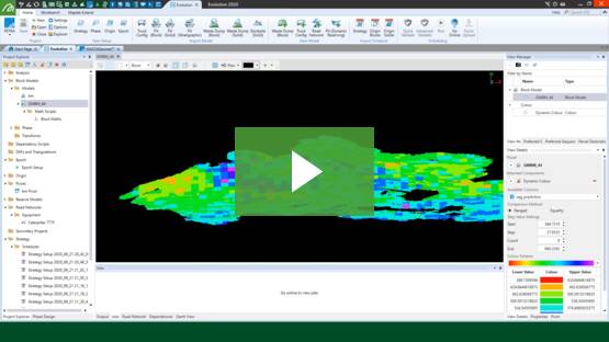
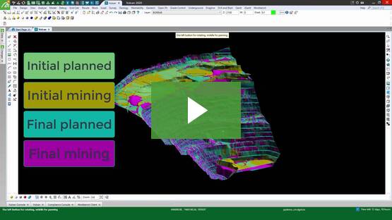
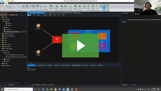
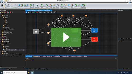
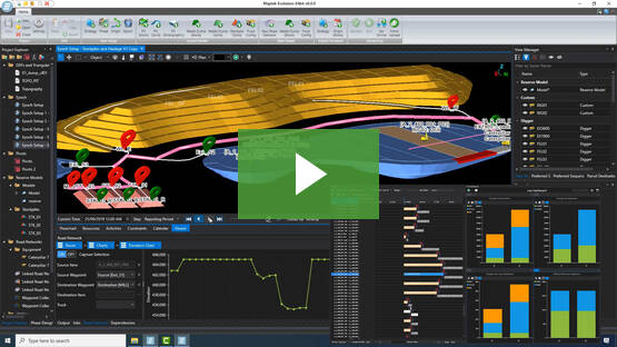
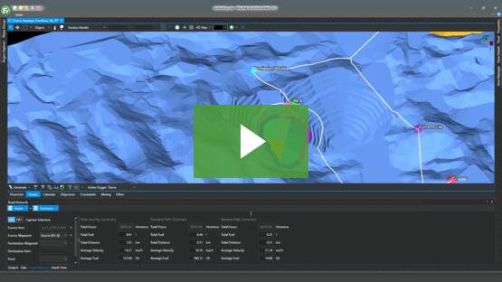
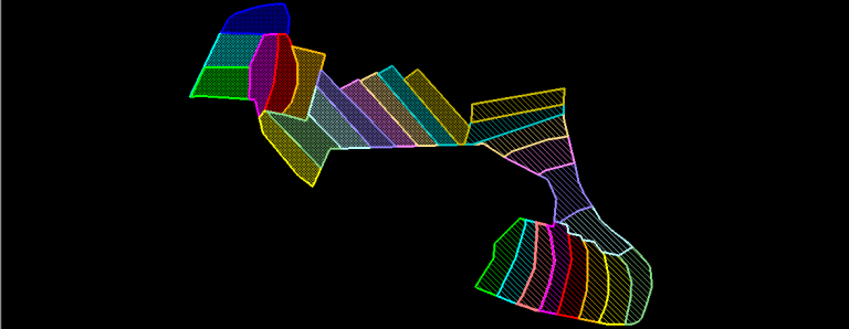
Evolution
Scheduling and haulage scenarios
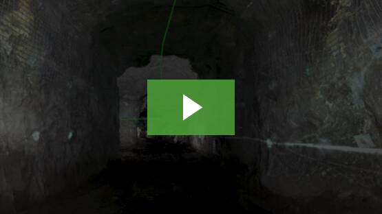
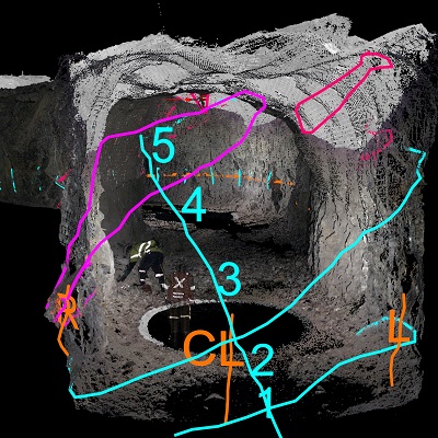
VisionV2X
Reliable proximity awareness underground
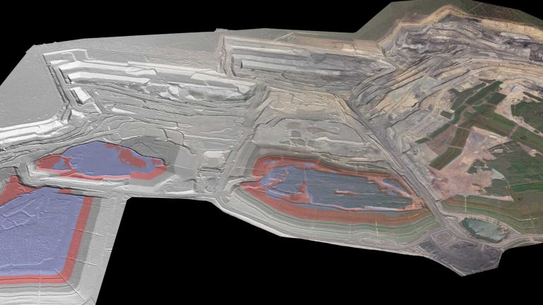
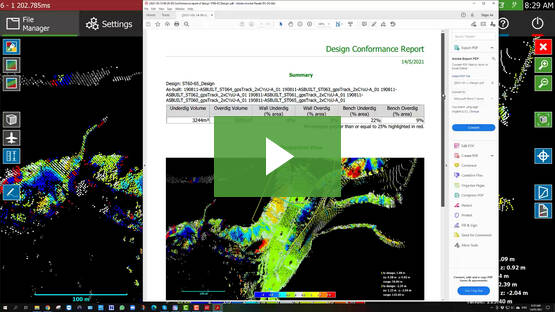
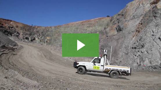
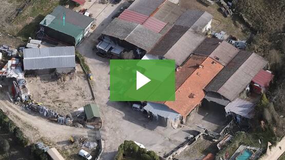
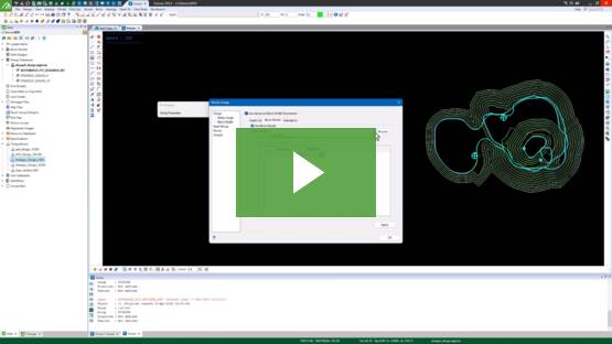
GeoSpatial Manager
Dynamic survey surface updates
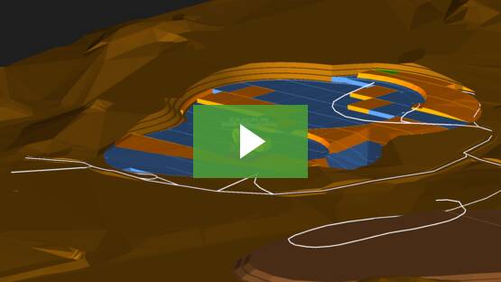
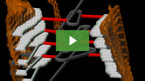
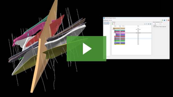
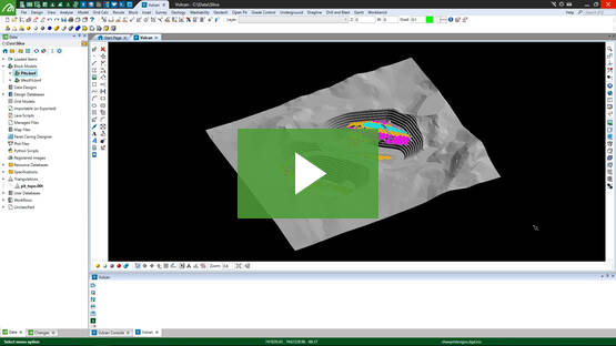
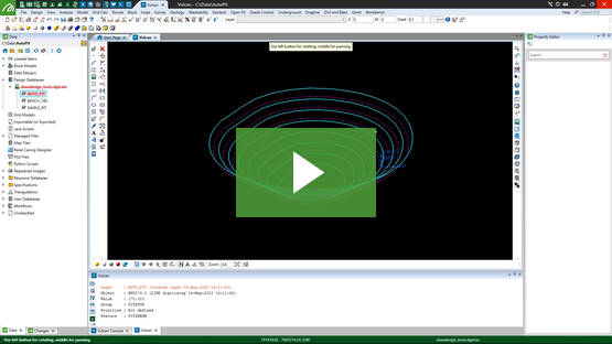
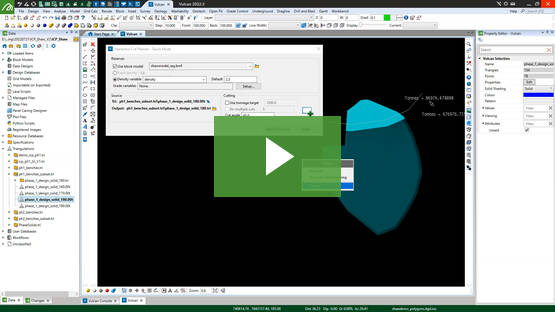
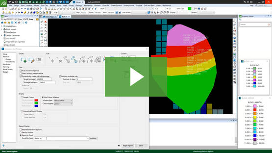
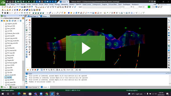
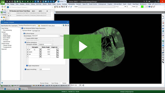
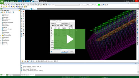
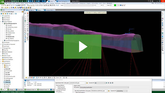
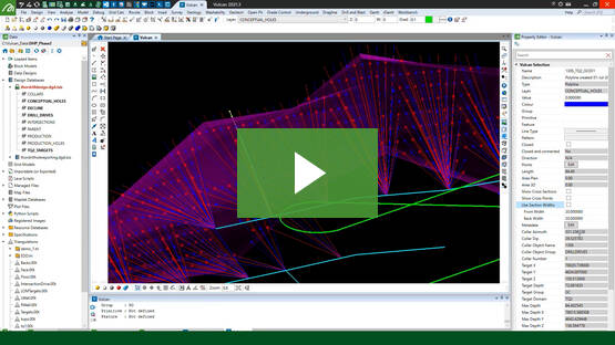
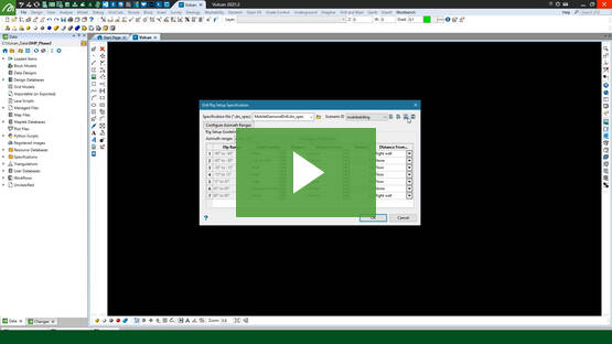
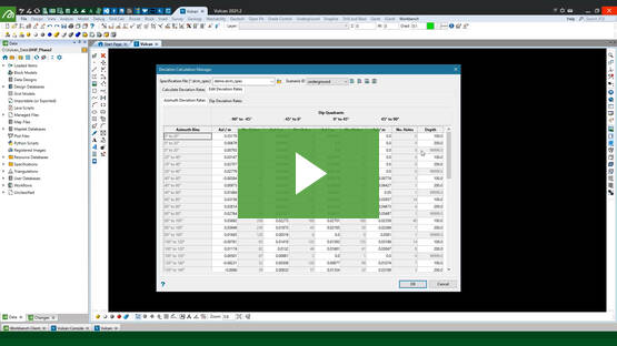
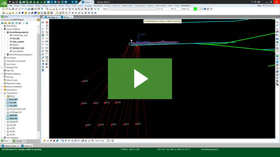
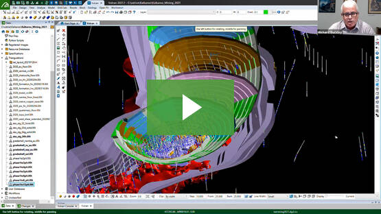
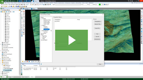
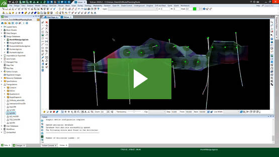
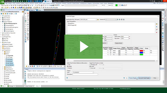
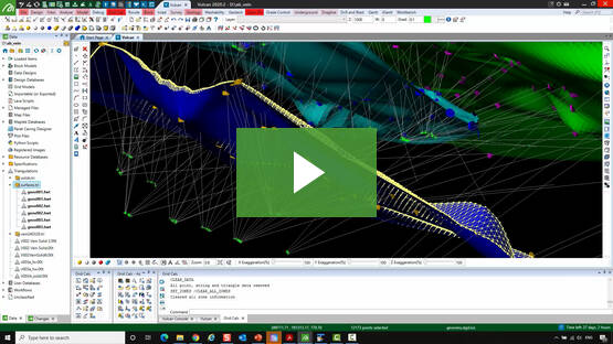
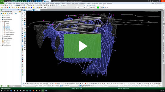
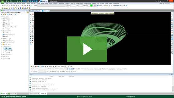
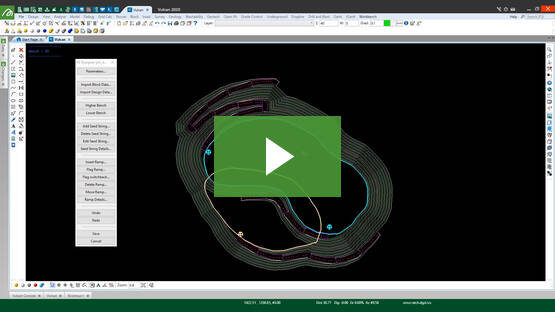
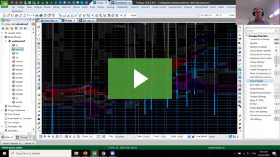
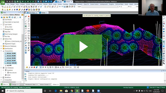
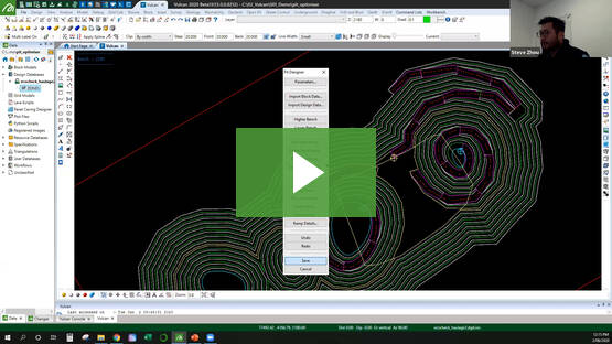
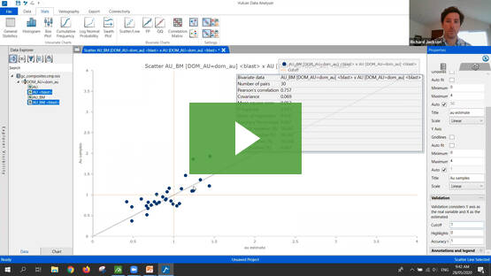
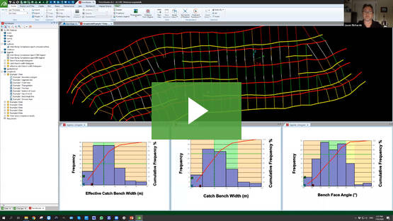
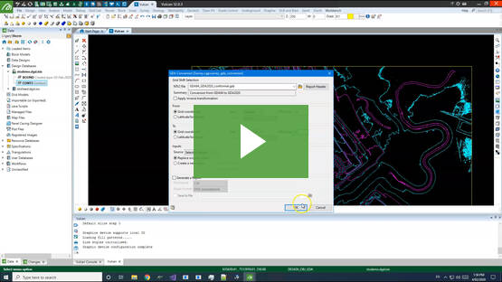
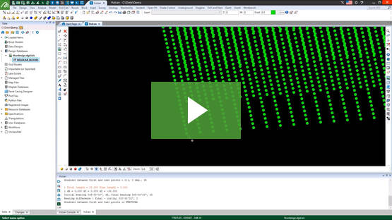
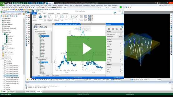
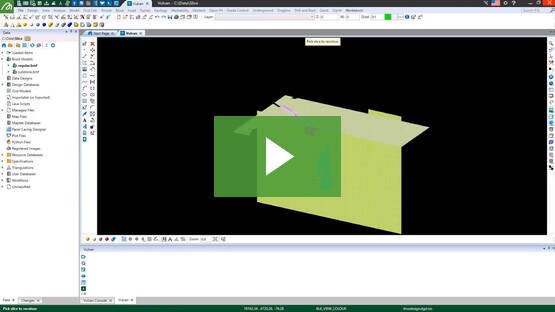
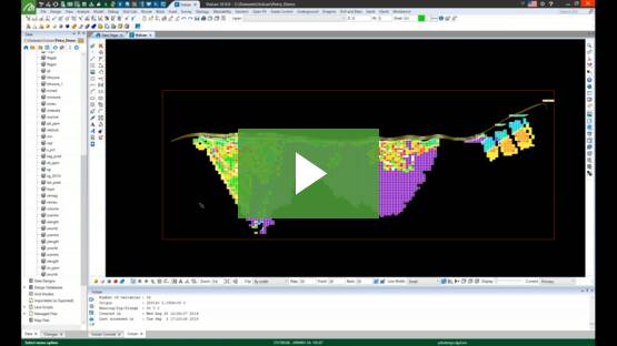
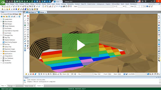
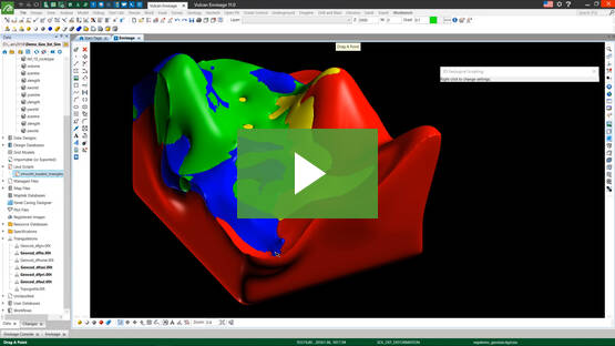
Vulcan
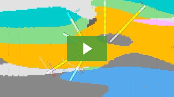
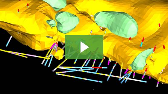
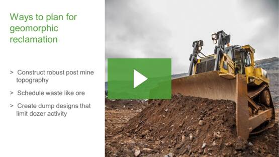
Mine planning & geological modelling
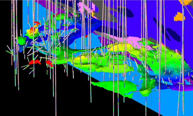
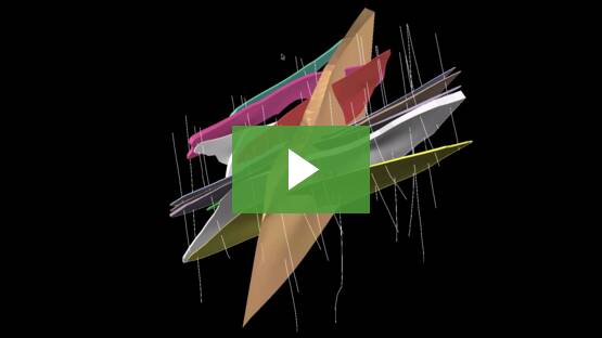
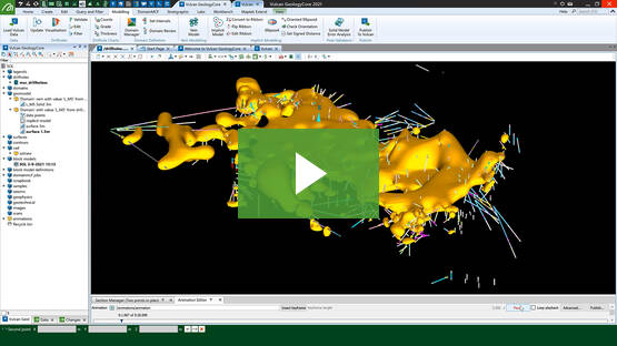
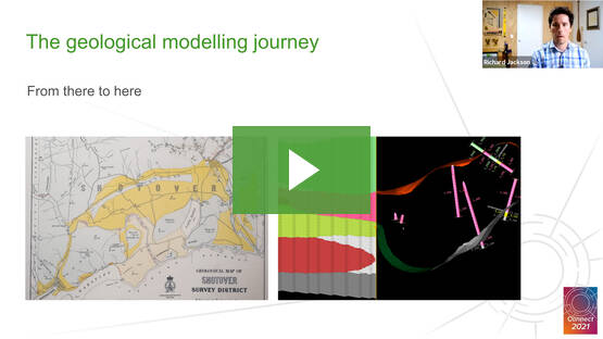
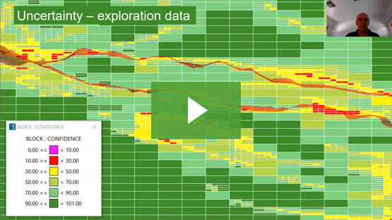
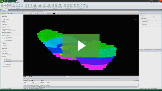
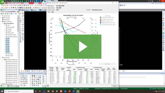
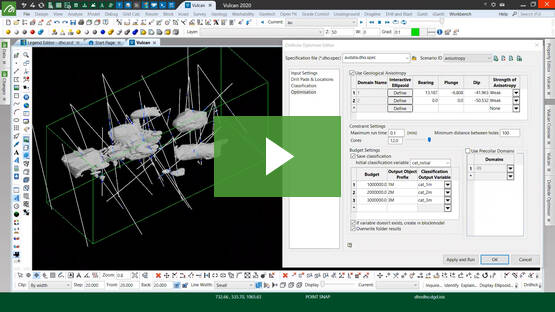
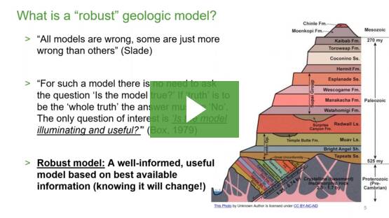
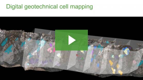
GeologyCore
Connected geological modelling solution
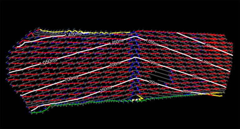
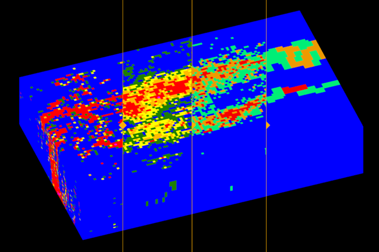
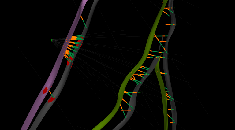
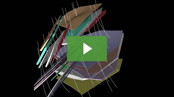
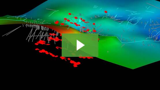
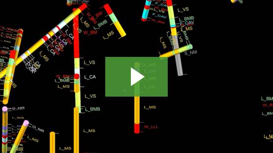
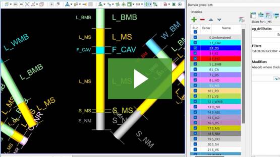
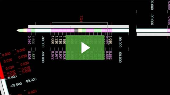
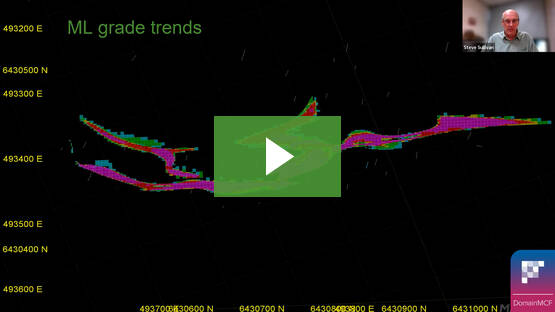
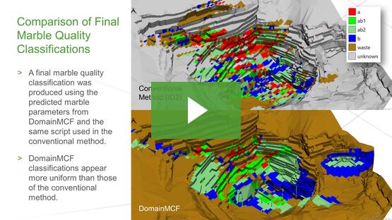
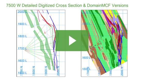
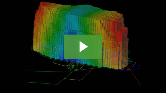
DomainMCF
Machine learning assisted domain modelling
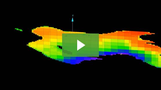
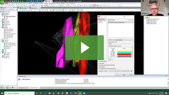
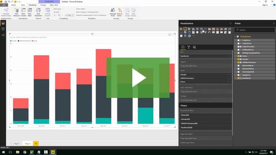
Maptek Resource Tracking
Material tracking & reconciliation systems
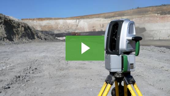
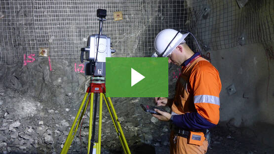
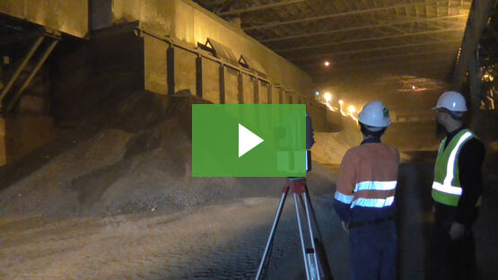
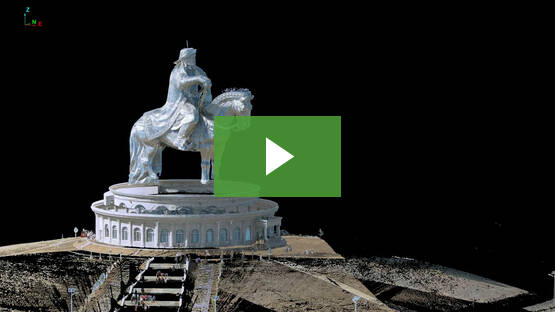
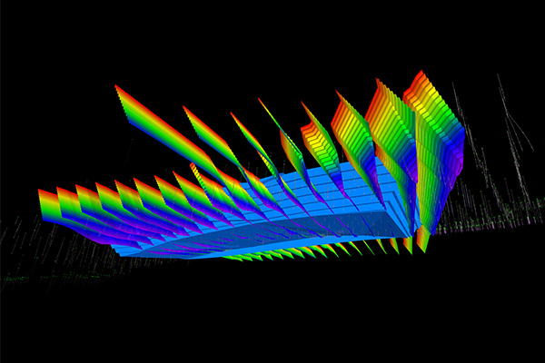
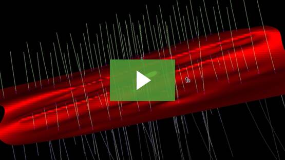
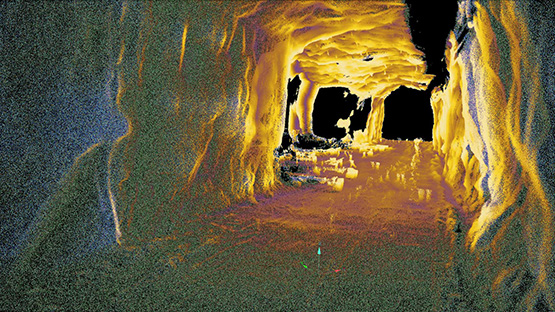
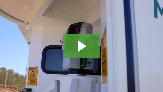
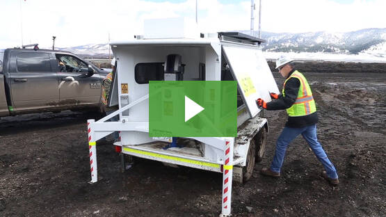
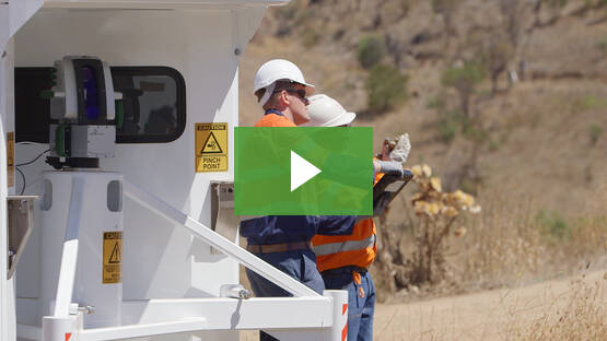
Laser Scanners
Laser scanning & imaging
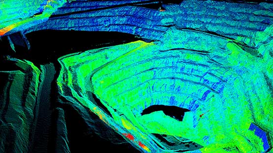
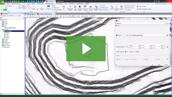
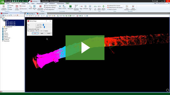
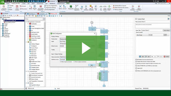
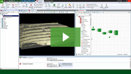
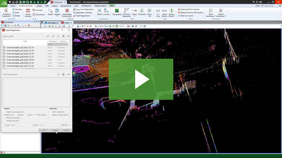
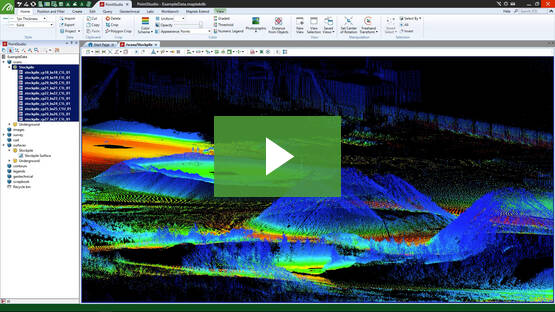
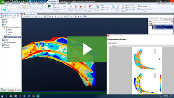
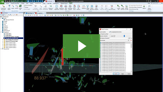
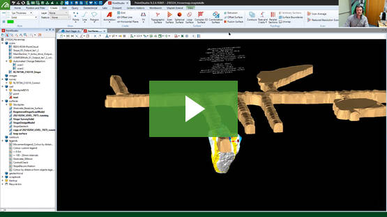
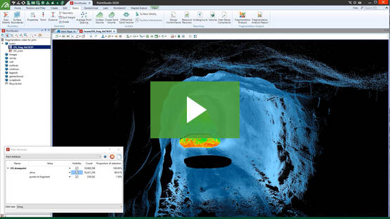
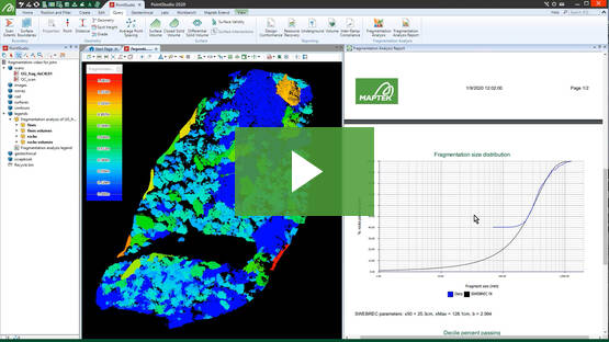
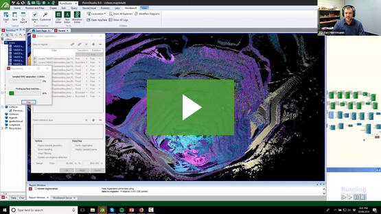
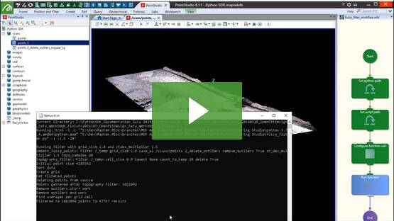
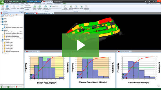
PointStudio
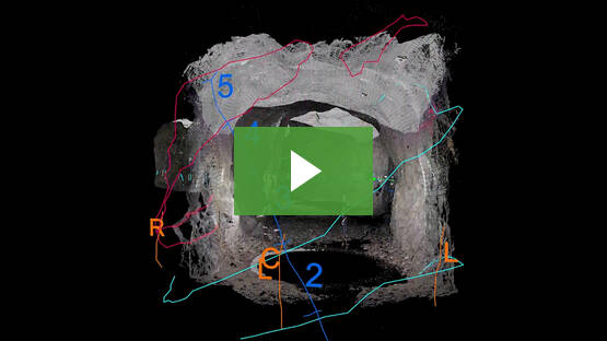
Point cloud processing & analysis
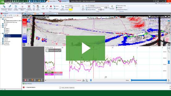
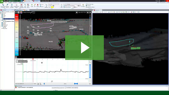
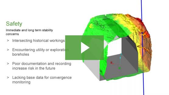
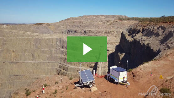
Sentry
LiDAR-based stability & convergence monitoring
PointModeller
Derive value from airborne or mobile sensor data
Products
Vulcan
Laser
Scanners
PointStudio
BlastLogic
Evolution
Sentry
GeologyCore
GeoSpatial Manager
VisionV2X
DomainMCF
PointModeller
Resource Tracking